
Distance between  Waitotara and
  Towai
Towai
299.44 mi Straight Distance
416.12 mi Driving Distance
8 hours 55 mins Estimated Driving Time
The straight distance between Waitotara (Taranaki) and Towai (Northland) is 299.44 mi, but the driving distance is 416.12 mi.
It takes 8 hours 55 mins to go from Waitotara to Towai.
Driving directions from Waitotara to Towai
Distance in kilometers
Straight distance: 481.79 km. Route distance: 669.53 km
Waitotara, New Zealand
Latitude: -39.806 // Longitude: 174.736
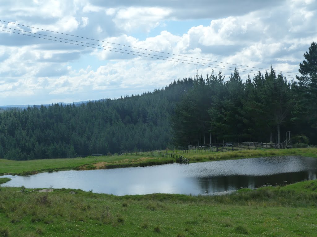
Photos of Waitotara


Waitotara Weather

Forecast: Overcast clouds
Temperature: 13.5°
Humidity: 69%
Sun info not available
Towai, New Zealand
Latitude: -35.4989 // Longitude: 174.129
Photos of Towai


Towai Weather
Forecast: Overcast clouds
Temperature: 15.3°
Humidity: 81%
Sun info not available


