
Distance between  Waitotara and
  Mangamuka
324.24 mi Straight Distance
466.17 mi Driving Distance
9 hours 58 mins Estimated Driving Time
The straight distance between Waitotara (Taranaki) and Mangamuka (Northland) is 324.24 mi, but the driving distance is 466.17 mi.
It takes 8 hours 49 mins to go from Waitotara to Mangamuka.
Driving directions from Waitotara to Mangamuka
Distance in kilometers
Straight distance: 521.70 km. Route distance: 750.06 km
Waitotara, New Zealand
Latitude: -39.806 // Longitude: 174.736
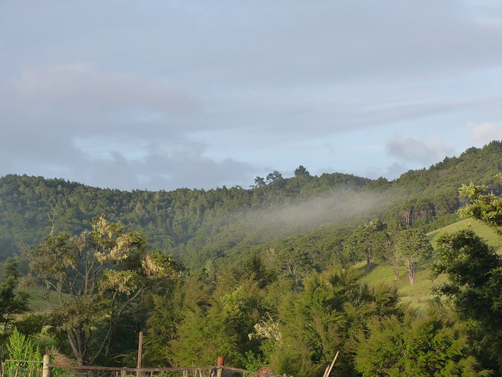
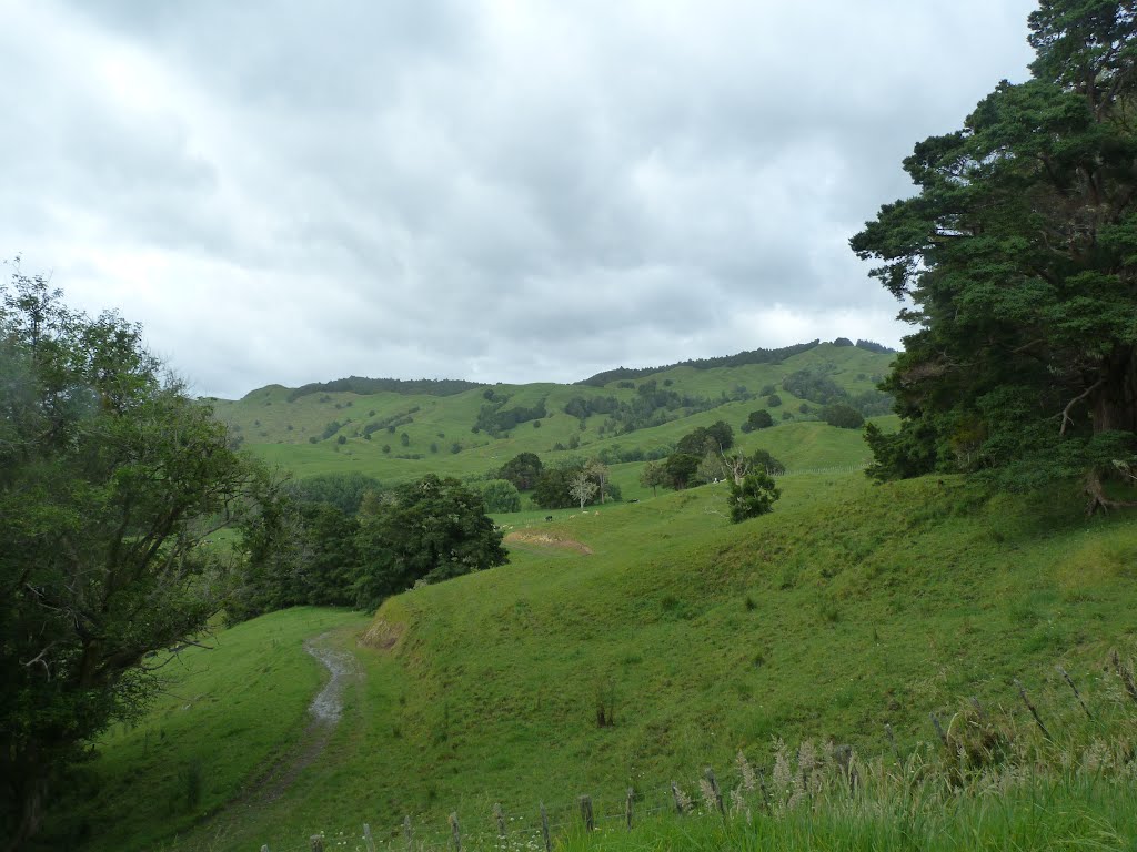
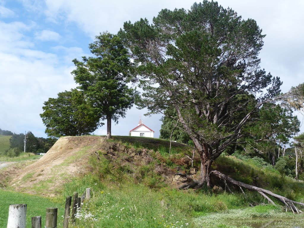
Photos of Waitotara


Waitotara Weather

Forecast: Clear sky
Temperature: 18.0°
Humidity: 40%
Sun info not available
Mangamuka, New Zealand
Latitude: -35.21 // Longitude: 173.54
Photos of Mangamuka


Mangamuka Weather
Forecast: Clear sky
Temperature: 18.0°
Humidity: 40%
Sun info not available


