
Distance between  Waitoa and
  Makahu
129.69 mi Straight Distance
188.23 mi Driving Distance
4 hours 21 mins Estimated Driving Time
The straight distance between Waitoa (Waikato) and Makahu (Taranaki) is 129.69 mi, but the driving distance is 188.23 mi.
It takes to go from Waitoa to Makahu.
Driving directions from Waitoa to Makahu
Distance in kilometers
Straight distance: 208.67 km. Route distance: 302.86 km
Waitoa, New Zealand
Latitude: -37.5987 // Longitude: 175.632
Photos of Waitoa


Waitoa Weather

Predicción: Cielo claro
Temperatura: 18.0°
Humedad: 40%
Hora actual: 10:32 PM
Amanece: 06:42 AM
Anochece: 08:20 PM
Makahu, New Zealand
Latitude: -39.3031 // Longitude: 174.628
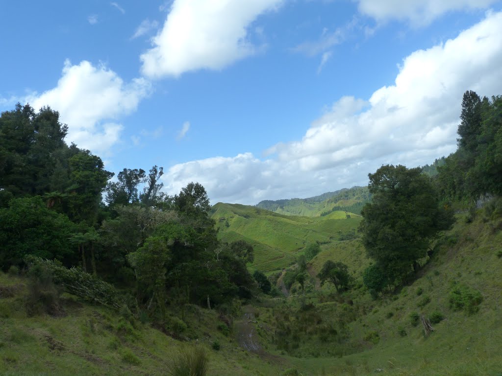
Photos of Makahu


Makahu Weather
Predicción: Cielo claro
Temperatura: 18.0°
Humedad: 40%
Hora actual: 12:00 PM
Amanece: 06:43 AM
Anochece: 08:27 PM


