
Distance between  Waitati and
  Ruawai
687.93 mi Straight Distance
965.61 mi Driving Distance
23 hours 6 mins Estimated Driving Time
The straight distance between Waitati (Otago) and Ruawai (Northland) is 687.93 mi, but the driving distance is 965.61 mi.
It takes 23 hours 6 mins to go from Waitati to Ruawai.
Driving directions from Waitati to Ruawai
Distance in kilometers
Straight distance: 1,106.87 km. Route distance: 1,553.67 km
Waitati, New Zealand
Latitude: -45.7468 // Longitude: 170.569
Photos of Waitati


Waitati Weather

Forecast: Clear sky
Temperature: 18.0°
Humidity: 40%
Current time: 05:41 PM
Sunrise: 07:21 AM
Sunset: 08:15 PM
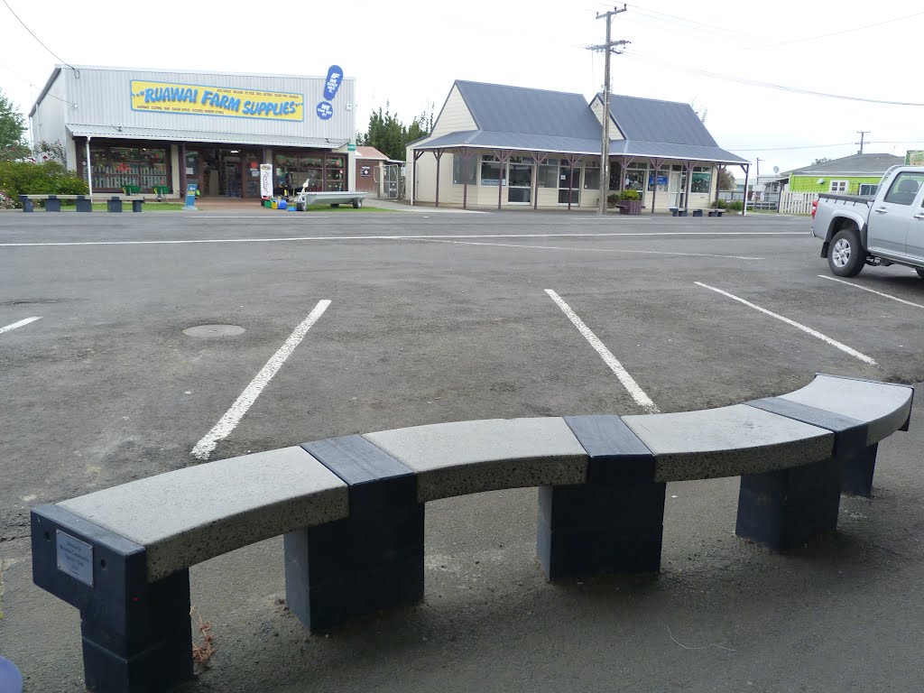
Ruawai, New Zealand
Latitude: -36.1355 // Longitude: 174.023
Photos of Ruawai


Ruawai Weather
Forecast: Clear sky
Temperature: 18.0°
Humidity: 40%
Current time: 05:41 PM
Sunrise: 07:14 AM
Sunset: 07:54 PM


