
Distance between  Waitara and
  Oromahoe
254.69 mi Straight Distance
355.45 mi Driving Distance
7 hours 39 mins Estimated Driving Time
The straight distance between Waitara (Taranaki) and Oromahoe (Northland) is 254.69 mi, but the driving distance is 355.45 mi.
It takes 7 hours 39 mins to go from Waitara to Oromahoe.
Driving directions from Waitara to Oromahoe
Distance in kilometers
Straight distance: 409.80 km. Route distance: 571.92 km
Waitara, New Zealand
Latitude: -39.0011 // Longitude: 174.238
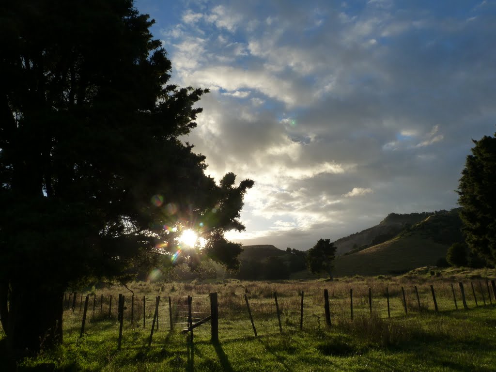
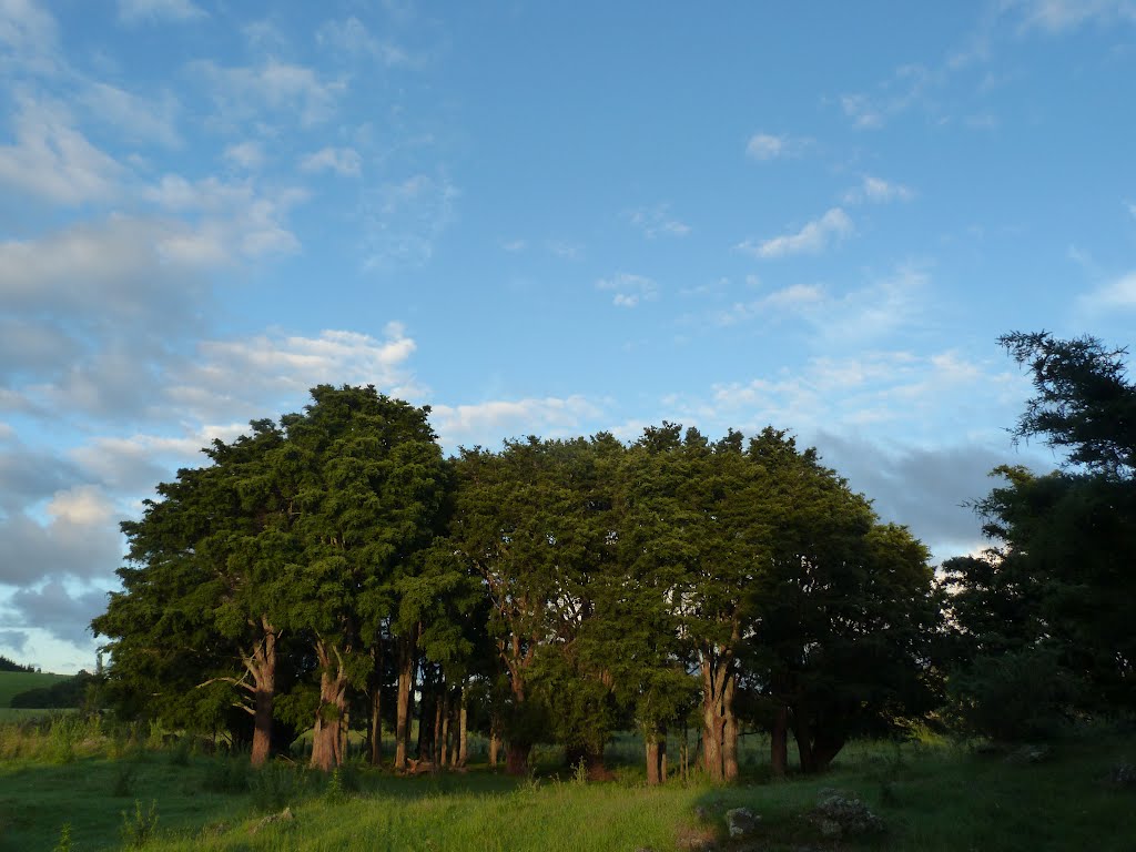
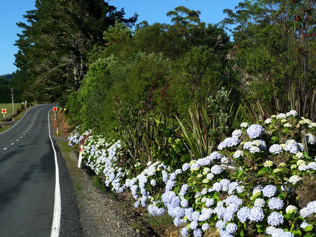
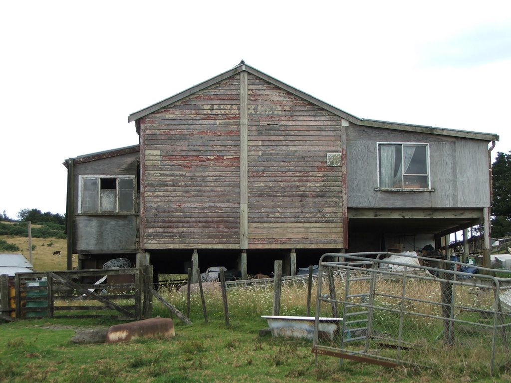
Photos of Waitara
 - side road near Tikorangi")


Waitara Weather

Forecast: Overcast clouds
Temperature: 17.1°
Humidity: 100%
Current time: 04:13 AM
Sunrise: 07:17 AM
Sunset: 07:48 PM
Oromahoe, New Zealand
Latitude: -35.3207 // Longitude: 173.978
Photos of Oromahoe


Oromahoe Weather
Forecast: Overcast clouds
Temperature: 20.5°
Humidity: 98%
Current time: 04:13 AM
Sunrise: 07:19 AM
Sunset: 07:47 PM


