
Distance between  Waitara and
  Houhora
297.25 mi Straight Distance
433.38 mi Driving Distance
9 hours 19 mins Estimated Driving Time
The straight distance between Waitara (Taranaki) and Houhora (Northland) is 297.25 mi, but the driving distance is 433.38 mi.
It takes 8 hours 32 mins to go from Waitara to Houhora.
Driving directions from Waitara to Houhora
Distance in kilometers
Straight distance: 478.27 km. Route distance: 697.31 km
Waitara, New Zealand
Latitude: -39.0011 // Longitude: 174.238
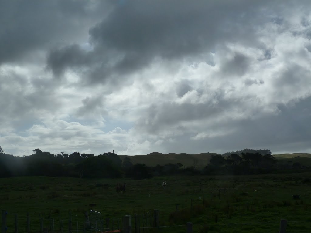
Photos of Waitara
 - side road near Tikorangi")


Waitara Weather

Predicción: Overcast clouds
Temperatura: 17.2°
Humedad: 100%
Hora actual: 04:09 AM
Amanece: 06:46 AM
Anochece: 08:27 PM
Houhora, New Zealand
Latitude: -34.7957 // Longitude: 173.103
Photos of Houhora


Houhora Weather
Predicción: Overcast clouds
Temperatura: 21.6°
Humedad: 97%
Hora actual: 12:00 PM
Amanece: 06:57 AM
Anochece: 08:25 PM


