
Distance between  Waitara and
  Broadwood
262.58 mi Straight Distance
395.51 mi Driving Distance
8 hours 40 mins Estimated Driving Time
The straight distance between Waitara (Taranaki) and Broadwood (Northland) is 262.58 mi, but the driving distance is 395.51 mi.
It takes 8 hours 40 mins to go from Waitara to Broadwood.
Driving directions from Waitara to Broadwood
Distance in kilometers
Straight distance: 422.49 km. Route distance: 636.37 km
Waitara, New Zealand
Latitude: -39.0011 // Longitude: 174.238
Photos of Waitara
 - side road near Tikorangi")


Waitara Weather

Forecast: Clear sky
Temperature: 18.0°
Humidity: 40%
Current time: 05:22 AM
Sunrise: 07:11 AM
Sunset: 07:57 PM
Broadwood, New Zealand
Latitude: -35.2607 // Longitude: 173.394
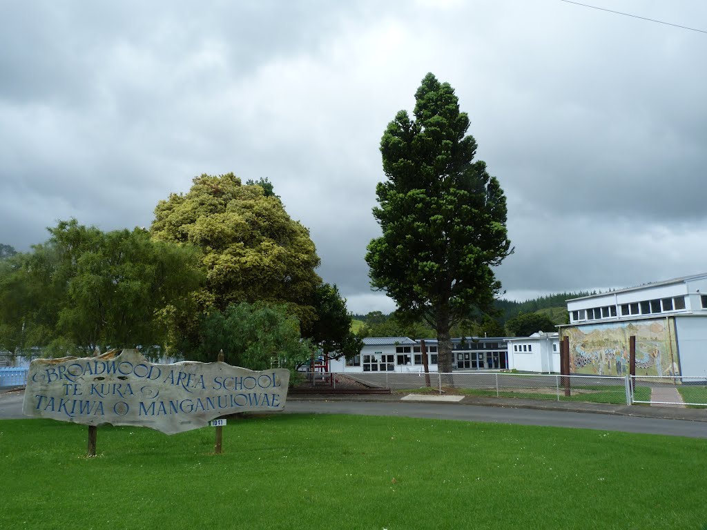
Photos of Broadwood


Broadwood Weather
Forecast: Clear sky
Temperature: 18.0°
Humidity: 40%
Sun info not available


