
Distance between  Waharoa and
  Titoki
168.55 mi Straight Distance
206.84 mi Driving Distance
4 hours 23 mins Estimated Driving Time
The straight distance between Waharoa (Waikato) and Titoki (Northland) is 168.55 mi, but the driving distance is 206.84 mi.
It takes 3 hours 51 mins to go from Waharoa to Titoki.
Driving directions from Waharoa to Titoki
Distance in kilometers
Straight distance: 271.19 km. Route distance: 332.81 km
Waharoa, New Zealand
Latitude: -37.7603 // Longitude: 175.753
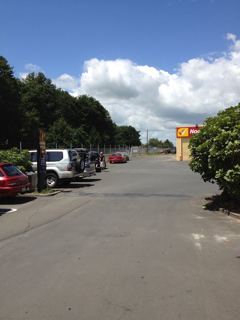
Photos of Waharoa
 New zealand")


Waharoa Weather

Forecast: Overcast clouds
Temperature: 23.9°
Humidity: 79%
Current time: 08:42 PM
Sunrise: 07:11 AM
Sunset: 07:41 PM
Titoki, New Zealand
Latitude: -35.7338 // Longitude: 174.058
Photos of Titoki


Titoki Weather
Forecast: Broken clouds
Temperature: 22.5°
Humidity: 96%
Sun info not available


