
Distance between  Towai and
  Waitara
242.05 mi Straight Distance
334.60 mi Driving Distance
7 hours 12 mins Estimated Driving Time
The straight distance between Towai (Northland) and Waitara (Taranaki) is 242.05 mi, but the driving distance is 334.60 mi.
It takes 7 hours 12 mins to go from Towai to Waitara.
Driving directions from Towai to Waitara
Distance in kilometers
Straight distance: 389.46 km. Route distance: 538.37 km
Towai, New Zealand
Latitude: -35.4989 // Longitude: 174.129
Photos of Towai


Towai Weather

Forecast: Moderate rain
Temperature: 16.7°
Humidity: 85%
Sun info not available
Waitara, New Zealand
Latitude: -39.0011 // Longitude: 174.238
Photos of Waitara
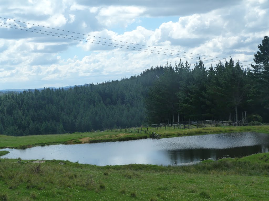
 - side road near Tikorangi")


Waitara Weather

Forecast: Overcast clouds
Temperature: 13.8°
Humidity: 100%
Current time: 08:41 AM
Sunrise: 07:15 AM
Sunset: 07:51 PM


