
Distance between  Towai and
  Taumarunui
241.98 mi Straight Distance
294.70 mi Driving Distance
6 hours 18 mins Estimated Driving Time
The straight distance between Towai (Northland) and Taumarunui (Manawatu-Wanganui) is 241.98 mi, but the driving distance is 294.70 mi.
It takes to go from Towai to Taumarunui.
Driving directions from Towai to Taumarunui
Distance in kilometers
Straight distance: 389.35 km. Route distance: 474.18 km
Towai, New Zealand
Latitude: -35.4989 // Longitude: 174.129
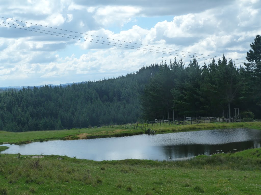
Photos of Towai


Towai Weather

Forecast: Scattered clouds
Temperature: 13.0°
Humidity: 96%
Current time: 12:00 AM
Sunrise: 06:01 PM
Sunset: 07:12 AM
Taumarunui, New Zealand
Latitude: -38.8832 // Longitude: 175.261
Photos of Taumarunui


Taumarunui Weather
Forecast: Scattered clouds
Temperature: 12.1°
Humidity: 97%
Current time: 12:00 AM
Sunrise: 05:53 PM
Sunset: 07:11 AM


