
Distance between  Tikorangi and
  Thames
147.82 mi Straight Distance
194.34 mi Driving Distance
4 hours 20 mins Estimated Driving Time
The straight distance between Tikorangi (Taranaki) and Thames (Waikato) is 147.82 mi, but the driving distance is 194.34 mi.
It takes 3 hours 51 mins to go from Tikorangi to Thames.
Driving directions from Tikorangi to Thames
Distance in kilometers
Straight distance: 237.85 km. Route distance: 312.70 km
Tikorangi, New Zealand
Latitude: -39.0338 // Longitude: 174.28
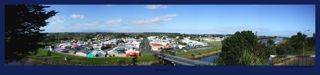
Photos of Tikorangi
 - side road near Tikorangi")


Tikorangi Weather

Forecast: Overcast clouds
Temperature: 22.3°
Humidity: 100%
Current time: 09:05 PM
Sunrise: 07:17 AM
Sunset: 07:47 PM
Thames, New Zealand
Latitude: -37.1384 // Longitude: 175.541
Photos of Thames
")
")


Thames Weather

Forecast: Scattered clouds
Temperature: 25.7°
Humidity: 69%
Current time: 09:05 PM
Sunrise: 07:12 AM
Sunset: 07:42 PM


