
Distance between  Tikorangi and
  Taumarunui
53.72 mi Straight Distance
91.03 mi Driving Distance
2 hours 30 mins Estimated Driving Time
The straight distance between Tikorangi (Taranaki) and Taumarunui (Manawatu-Wanganui) is 53.72 mi, but the driving distance is 91.03 mi.
It takes to go from Tikorangi to Taumarunui.
Driving directions from Tikorangi to Taumarunui
Distance in kilometers
Straight distance: 86.44 km. Route distance: 146.47 km
Tikorangi, New Zealand
Latitude: -39.0338 // Longitude: 174.28
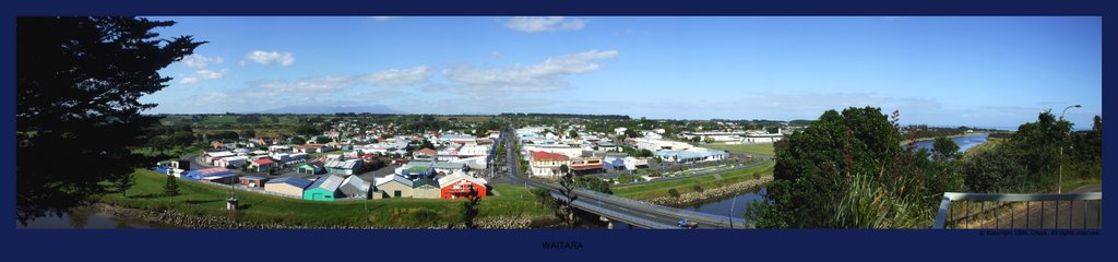
Photos of Tikorangi
 - side road near Tikorangi")


Tikorangi Weather

Forecast: Few clouds
Temperature: 20.6°
Humidity: 100%
Current time: 07:22 PM
Sunrise: 06:55 AM
Sunset: 08:17 PM
Taumarunui, New Zealand
Latitude: -38.8832 // Longitude: 175.261
Photos of Taumarunui


Taumarunui Weather

Forecast: Clear sky
Temperature: 24.3°
Humidity: 36%
Current time: 12:00 PM
Sunrise: 06:51 AM
Sunset: 08:13 PM


