
Distance between  Thames and
  Kaitaia
188.64 mi Straight Distance
262.46 mi Driving Distance
5 hours 45 mins Estimated Driving Time
The straight distance between Thames (Waikato) and Kaitaia (Northland) is 188.64 mi, but the driving distance is 262.46 mi.
It takes 4 hours 58 mins to go from Thames to Kaitaia.
Driving directions from Thames to Kaitaia
Distance in kilometers
Straight distance: 303.53 km. Route distance: 422.30 km
Thames, New Zealand
Latitude: -37.1384 // Longitude: 175.541
Photos of Thames
")
")


Thames Weather

Forecast: Clear sky
Temperature: 18.0°
Humidity: 40%
Current time: 10:15 AM
Sunrise: 07:08 AM
Sunset: 07:49 PM
Kaitaia, New Zealand
Latitude: -35.1173 // Longitude: 173.268
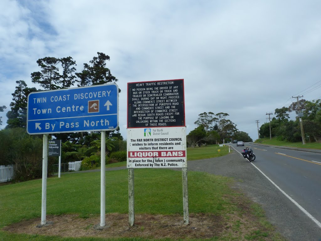
Photos of Kaitaia


Kaitaia Weather
Forecast: Clear sky
Temperature: 18.0°
Humidity: 40%
Current time: 10:15 AM
Sunrise: 07:18 AM
Sunset: 07:57 PM


