
Distance between  Temuka and
  Weston
60.33 mi Straight Distance
67.31 mi Driving Distance
1 hour 36 mins Estimated Driving Time
The straight distance between Temuka (Canterbury) and Weston (Otago) is 60.33 mi, but the driving distance is 67.31 mi.
It takes 1 hour 24 mins to go from Temuka to Weston.
Driving directions from Temuka to Weston
Distance in kilometers
Straight distance: 97.07 km. Route distance: 108.30 km
Temuka, New Zealand
Latitude: -44.2453 // Longitude: 171.278
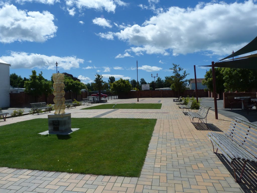
Photos of Temuka


Temuka Weather

Forecast: Overcast clouds
Temperature: 11.7°
Humidity: 93%
Current time: 03:16 PM
Sunrise: 07:22 AM
Sunset: 08:07 PM
Weston, New Zealand
Latitude: -45.0801 // Longitude: 170.918
Photos of Weston

Weston Weather
Forecast: Overcast clouds
Temperature: 11.9°
Humidity: 59%
Current time: 03:16 PM
Sunrise: 07:23 AM
Sunset: 08:09 PM


