
Distance between  Temuka and
  Nightcaps
198.11 mi Straight Distance
281.13 mi Driving Distance
6 hours 16 mins Estimated Driving Time
The straight distance between Temuka (Canterbury) and Nightcaps (Southland) is 198.11 mi, but the driving distance is 281.13 mi.
It takes 5 hours 32 mins to go from Temuka to Nightcaps.
Driving directions from Temuka to Nightcaps
Distance in kilometers
Straight distance: 318.75 km. Route distance: 452.34 km
Temuka, New Zealand
Latitude: -44.2453 // Longitude: 171.278
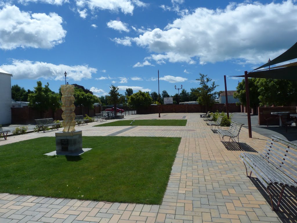
Photos of Temuka


Temuka Weather

Forecast: Clear sky
Temperature: 15.6°
Humidity: 85%
Current time: 01:16 AM
Sunrise: 07:20 AM
Sunset: 08:11 PM
Nightcaps, New Zealand
Latitude: -45.9701 // Longitude: 168.032
Photos of Nightcaps


Nightcaps Weather
Forecast: Clear sky
Temperature: 18.0°
Humidity: 40%
Sun info not available


