
Distance between  Temuka and
  Barrytown
138.31 mi Straight Distance
205.04 mi Driving Distance
4 hours 40 mins Estimated Driving Time
The straight distance between Temuka (Canterbury) and Barrytown (Costa Oeste) is 138.31 mi, but the driving distance is 205.04 mi.
It takes 4 hours 17 mins to go from Temuka to Barrytown.
Driving directions from Temuka to Barrytown
Distance in kilometers
Straight distance: 222.54 km. Route distance: 329.91 km
Temuka, New Zealand
Latitude: -44.2453 // Longitude: 171.278
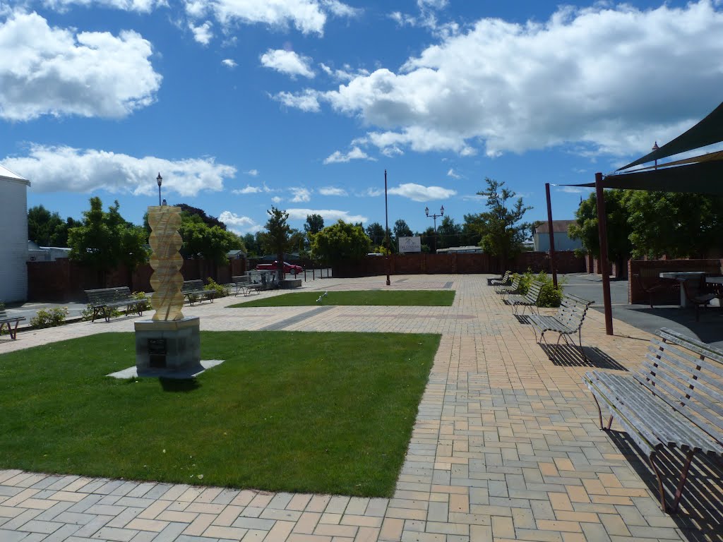
Photos of Temuka


Temuka Weather

Forecast: Clear sky
Temperature: 15.6°
Humidity: 99%
Current time: 06:42 AM
Sunrise: 07:26 AM
Sunset: 08:02 PM
Barrytown, New Zealand
Latitude: -42.2438 // Longitude: 171.327
Photos of Barrytown
")


Barrytown Weather

Forecast: Light rain
Temperature: 15.3°
Humidity: 94%
Sun info not available


