
Distance between  Te Wera and
  Ward
Ward
179.42 mi Straight Distance
321.54 mi Driving Distance
9 hours 16 mins Estimated Driving Time
The straight distance between Te Wera (Taranaki) and Ward (Marlborough) is 179.42 mi, but the driving distance is 321.54 mi.
It takes 9 hours 16 mins to go from Te Wera to Ward.
Driving directions from Te Wera to Ward
Distance in kilometers
Straight distance: 288.69 km. Route distance: 517.36 km
Te Wera, New Zealand
Latitude: -39.2532 // Longitude: 174.567
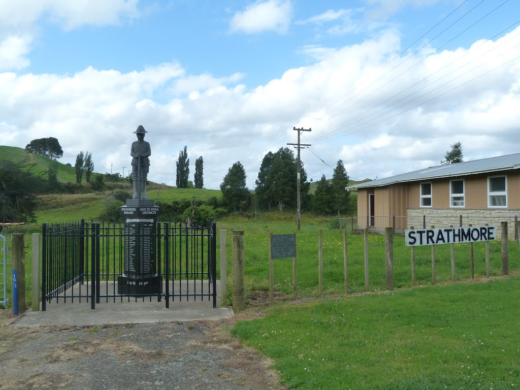
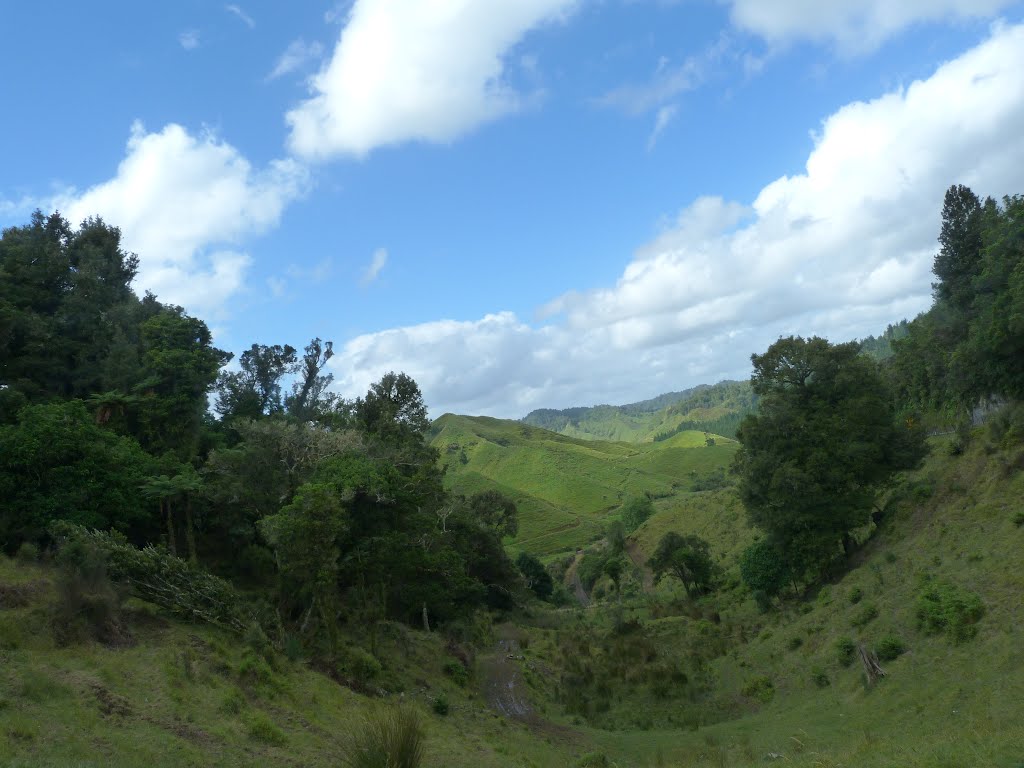
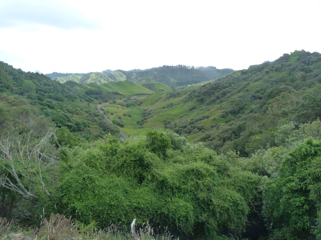
Photos of Te Wera


Te Wera Weather

Forecast: Clear sky
Temperature: 18.0°
Humidity: 40%
Sun info not available
Ward, New Zealand
Latitude: -41.8289 // Longitude: 174.132
Photos of Ward


")

Ward Weather
Forecast: Clear sky
Temperature: 18.0°
Humidity: 40%
Sun info not available


