
Distance between  Te Wera and
  Levin
Levin
101.97 mi Straight Distance
156.61 mi Driving Distance
3 hours 31 mins Estimated Driving Time
The straight distance between Te Wera (Taranaki) and Levin (Manawatu-Wanganui) is 101.97 mi, but the driving distance is 156.61 mi.
It takes to go from Te Wera to Levin.
Driving directions from Te Wera to Levin
Distance in kilometers
Straight distance: 164.07 km. Route distance: 251.99 km
Te Wera, New Zealand
Latitude: -39.2532 // Longitude: 174.567
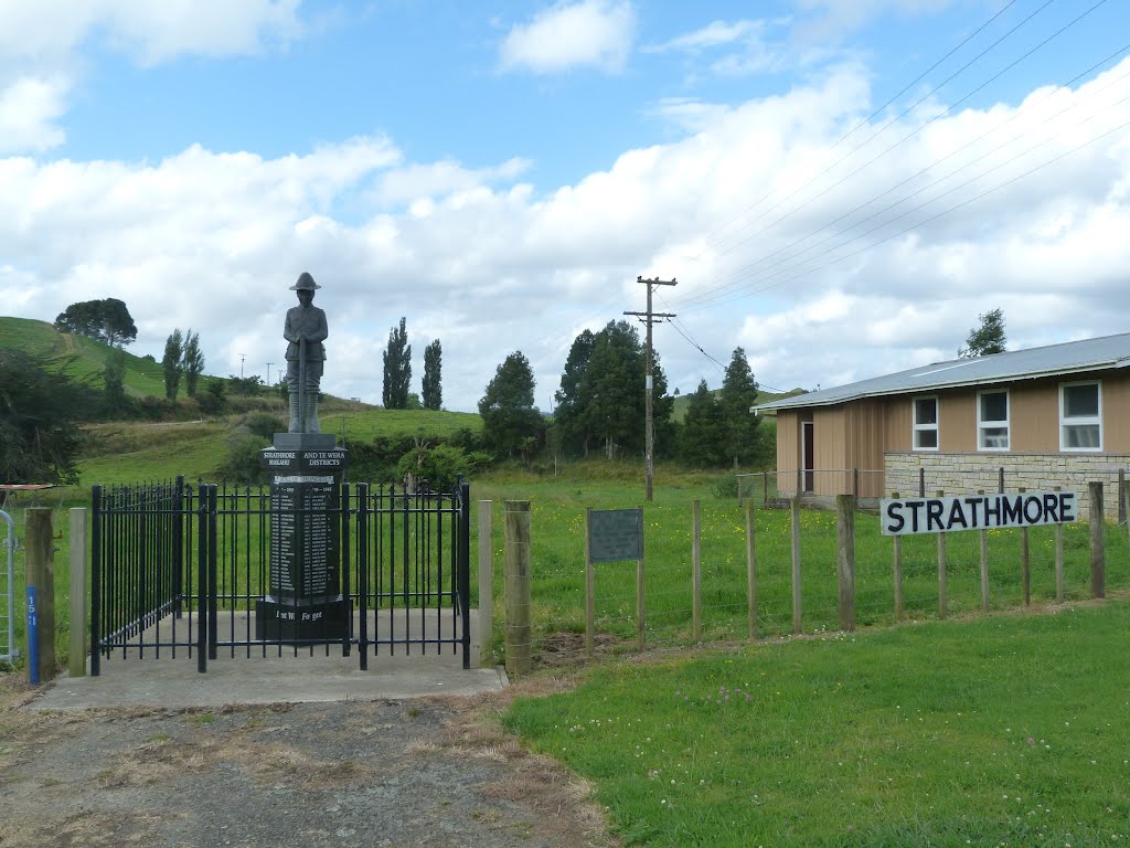
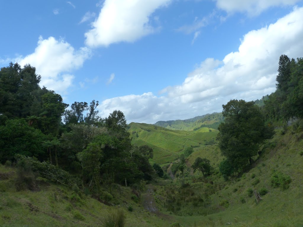
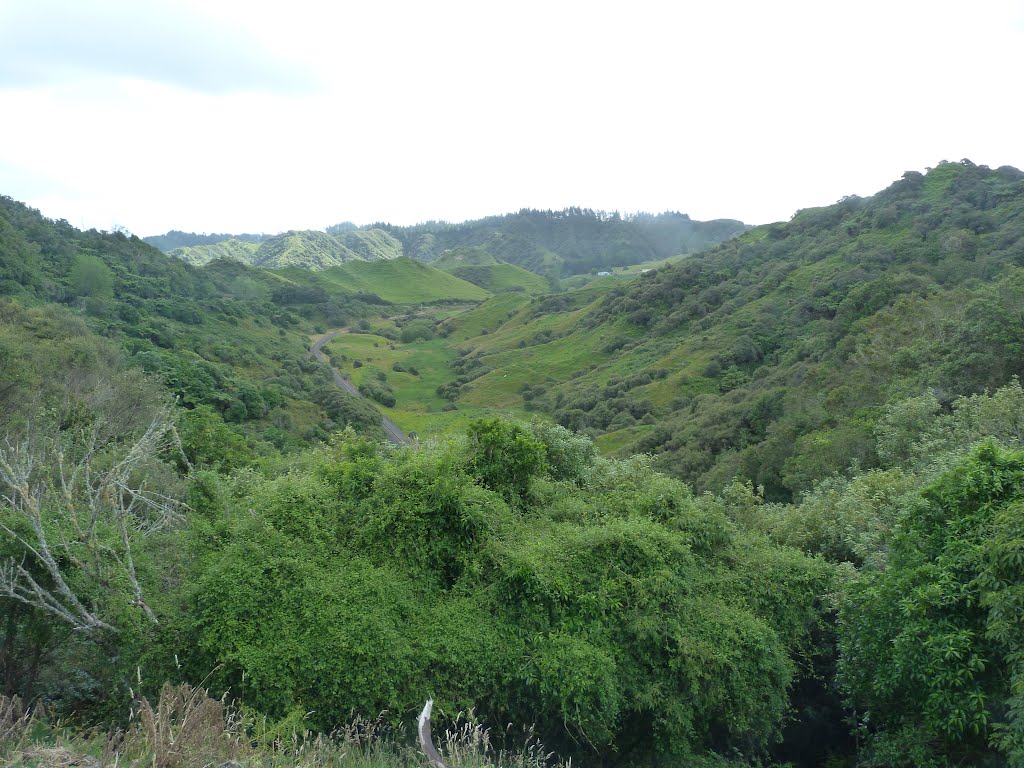
Photos of Te Wera


Te Wera Weather

Forecast: Overcast clouds
Temperature: 14.7°
Humidity: 98%
Current time: 12:00 AM
Sunrise: 06:00 PM
Sunset: 07:08 AM
Levin, New Zealand
Latitude: -40.6222 // Longitude: 175.286
Photos of Levin


Levin Weather
Forecast: Overcast clouds
Temperature: 14.6°
Humidity: 78%
Current time: 08:20 PM
Sunrise: 06:56 AM
Sunset: 08:06 PM


