
Distance between  Te Aroha and
  Wainuiomata
260.98 mi Straight Distance
325.88 mi Driving Distance
7 hours 3 mins Estimated Driving Time
The straight distance between Te Aroha (Waikato) and Wainuiomata (Wellington) is 260.98 mi, but the driving distance is 325.88 mi.
It takes 7 hours 3 mins to go from Te Aroha to Wainuiomata.
Driving directions from Te Aroha to Wainuiomata
Distance in kilometers
Straight distance: 419.92 km. Route distance: 524.34 km
Te Aroha, New Zealand
Latitude: -37.5426 // Longitude: 175.712
Photos of Te Aroha


Te Aroha Weather

Forecast: Overcast clouds
Temperature: 19.9°
Humidity: 98%
Sun info not available
Wainuiomata, New Zealand
Latitude: -41.2743 // Longitude: 174.955
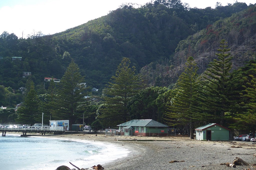
Photos of Wainuiomata


Wainuiomata Weather
Forecast: Broken clouds
Temperature: 16.1°
Humidity: 95%
Current time: 09:57 AM
Sunrise: 07:13 AM
Sunset: 07:46 PM


