
Distance between  Te Aroha and
  Te Wera
133.46 mi Straight Distance
187.96 mi Driving Distance
4 hours 22 mins Estimated Driving Time
The straight distance between Te Aroha (Waikato) and Te Wera (Taranaki) is 133.46 mi, but the driving distance is 187.96 mi.
It takes 4 hours 22 mins to go from Te Aroha to Te Wera.
Driving directions from Te Aroha to Te Wera
Distance in kilometers
Straight distance: 214.74 km. Route distance: 302.43 km
Te Aroha, New Zealand
Latitude: -37.5426 // Longitude: 175.712
Photos of Te Aroha


Te Aroha Weather

Forecast: Overcast clouds
Temperature: 16.6°
Humidity: 78%
Sun info not available
Te Wera, New Zealand
Latitude: -39.2532 // Longitude: 174.567
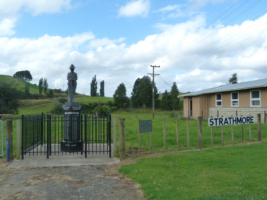
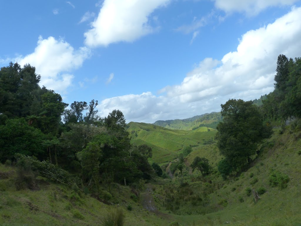
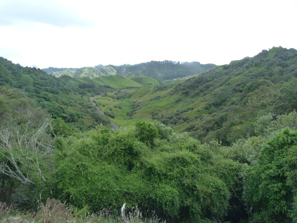
Photos of Te Wera


Te Wera Weather
Forecast: Overcast clouds
Temperature: 10.6°
Humidity: 85%
Sun info not available


