
Distance between  Te Anau and
  Te Puke
688.77 mi Straight Distance
977.68 mi Driving Distance
23 hours 27 mins Estimated Driving Time
The straight distance between Te Anau (Southland) and Te Puke (Bay Of Plenty) is 688.77 mi, but the driving distance is 977.68 mi.
It takes to go from Te Anau to Te Puke.
Driving directions from Te Anau to Te Puke
Distance in kilometers
Straight distance: 1,108.24 km. Route distance: 1,573.09 km
Te Anau, New Zealand
Latitude: -45.4145 // Longitude: 167.718
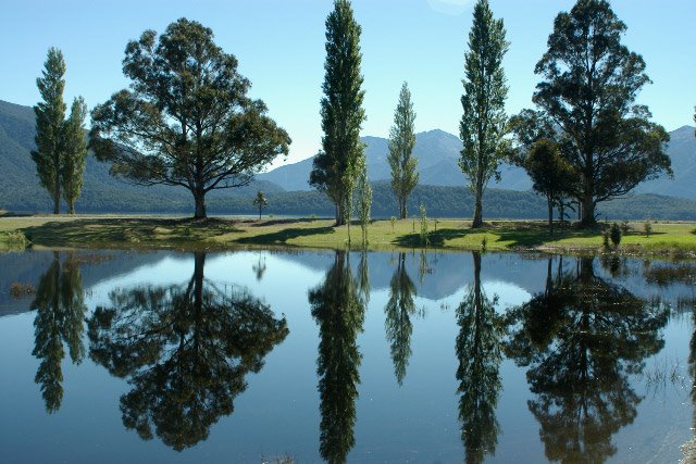
Photos of Te Anau


Te Anau Weather

Forecast: Scattered clouds
Temperature: 8.4°
Humidity: 87%
Current time: 04:32 AM
Sunrise: 07:15 AM
Sunset: 08:49 PM
Te Puke, New Zealand
Latitude: -37.7862 // Longitude: 176.325
Photos of Te Puke

")


Te Puke Weather

Forecast: Clear sky
Temperature: 17.0°
Humidity: 76%
Current time: 12:00 PM
Sunrise: 06:51 AM
Sunset: 08:04 PM


