
Distance between  Te Anau and
  Dobson
271.88 mi Straight Distance
429.46 mi Driving Distance
9 hours 23 mins Estimated Driving Time
The straight distance between Te Anau (Southland) and Dobson (Costa Oeste) is 271.88 mi, but the driving distance is 429.46 mi.
It takes 9 hours 23 mins to go from Te Anau to Dobson.
Driving directions from Te Anau to Dobson
Distance in kilometers
Straight distance: 437.46 km. Route distance: 691.01 km
Te Anau, New Zealand
Latitude: -45.4145 // Longitude: 167.718
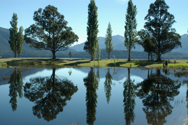
Photos of Te Anau


Te Anau Weather

Forecast: Clear sky
Temperature: 18.0°
Humidity: 40%
Current time: 11:34 AM
Sunrise: 07:33 AM
Sunset: 08:26 PM
Dobson, New Zealand
Latitude: -42.4494 // Longitude: 171.312
Photos of Dobson


Dobson Weather
Forecast: Clear sky
Temperature: 18.0°
Humidity: 40%
Current time: 11:34 AM
Sunrise: 07:21 AM
Sunset: 08:09 PM


