
Distance between  Tauhoa and
  Taumarunui
178.71 mi Straight Distance
222.74 mi Driving Distance
4 hours 41 mins Estimated Driving Time
The straight distance between Tauhoa (Auckland) and Taumarunui (Manawatu-Wanganui) is 178.71 mi, but the driving distance is 222.74 mi.
It takes to go from Tauhoa to Taumarunui.
Driving directions from Tauhoa to Taumarunui
Distance in kilometers
Straight distance: 287.54 km. Route distance: 358.39 km
Tauhoa, New Zealand
Latitude: -36.3773 // Longitude: 174.452
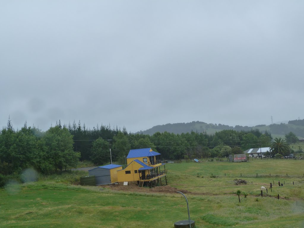
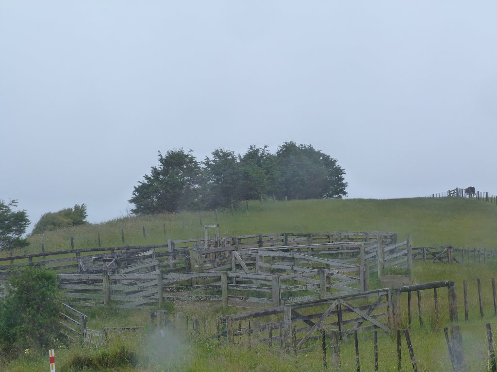
Photos of Tauhoa


Tauhoa Weather

Forecast: Scattered clouds
Temperature: 22.6°
Humidity: 53%
Current time: 12:00 AM
Sunrise: 05:54 PM
Sunset: 07:18 AM
Taumarunui, New Zealand
Latitude: -38.8832 // Longitude: 175.261
Photos of Taumarunui


Taumarunui Weather

Forecast: Overcast clouds
Temperature: 19.7°
Humidity: 63%
Current time: 12:00 AM
Sunrise: 05:47 PM
Sunset: 07:18 AM


