
Distance between  Springston and
  Manutahi
293.44 mi Straight Distance
449.02 mi Driving Distance
12 hours 15 mins Estimated Driving Time
The straight distance between Springston (Canterbury) and Manutahi (Taranaki) is 293.44 mi, but the driving distance is 449.02 mi.
It takes to go from Springston to Manutahi.
Driving directions from Springston to Manutahi
Distance in kilometers
Straight distance: 472.15 km. Route distance: 722.47 km
Springston, New Zealand
Latitude: -43.6446 // Longitude: 172.426
Photos of Springston


Springston Weather

Forecast: Broken clouds
Temperature: 15.0°
Humidity: 82%
Current time: 07:26 PM
Sunrise: 06:50 AM
Sunset: 08:37 PM
Manutahi, New Zealand
Latitude: -39.6604 // Longitude: 174.396
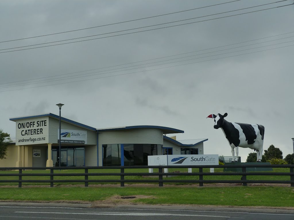
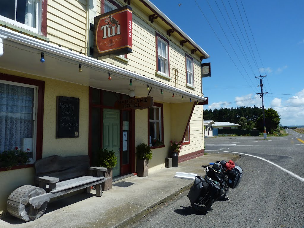
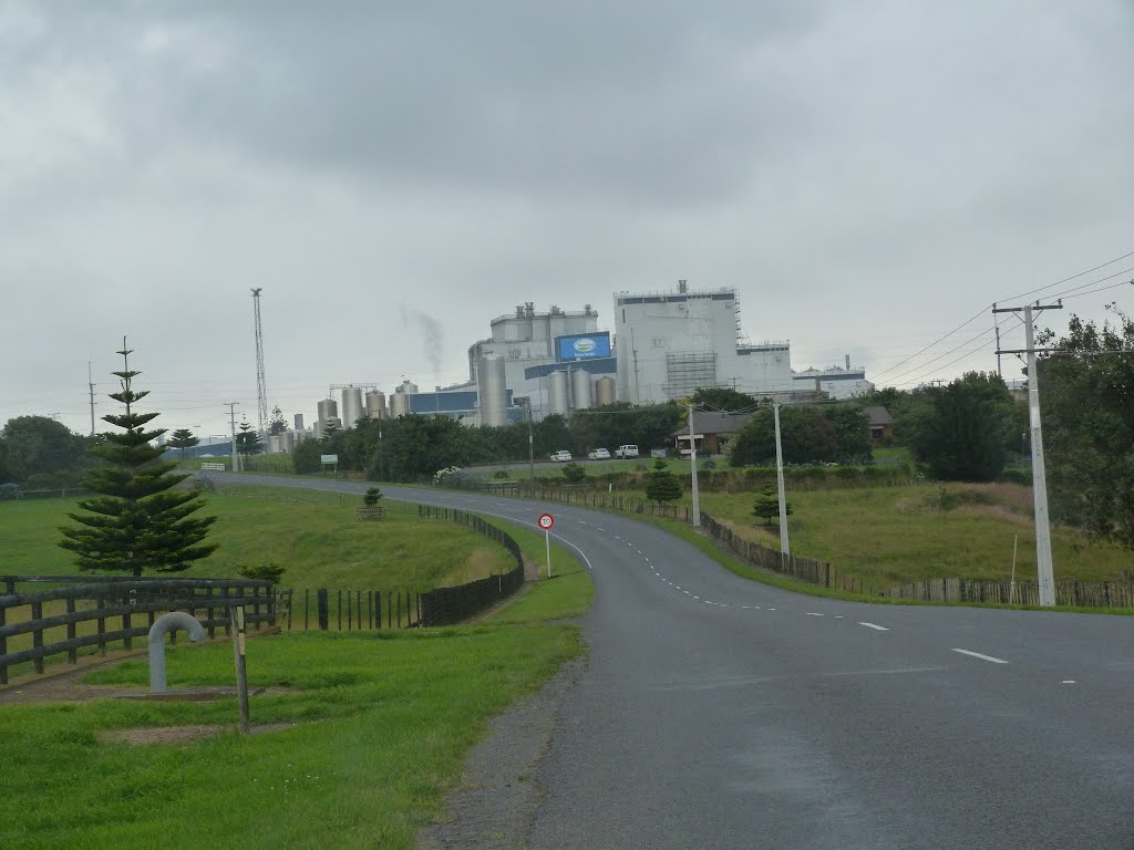
Photos of Manutahi


Manutahi Weather
Forecast: Overcast clouds
Temperature: 17.5°
Humidity: 80%
Current time: 12:00 PM
Sunrise: 06:49 AM
Sunset: 08:23 PM


