
Distance between  Ruawai and
  Putaruru
163.87 mi Straight Distance
203.21 mi Driving Distance
4 hours 13 mins Estimated Driving Time
The straight distance between Ruawai (Northland) and Putaruru (Waikato) is 163.87 mi, but the driving distance is 203.21 mi.
It takes 3 hours 59 mins to go from Ruawai to Putaruru.
Driving directions from Ruawai to Putaruru
Distance in kilometers
Straight distance: 263.67 km. Route distance: 326.97 km
Ruawai, New Zealand
Latitude: -36.1355 // Longitude: 174.023
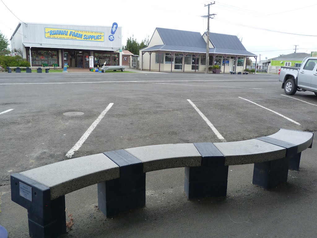
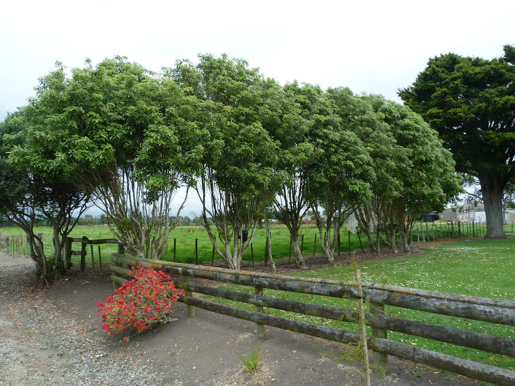
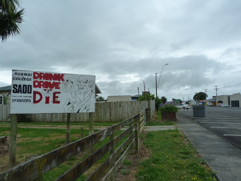
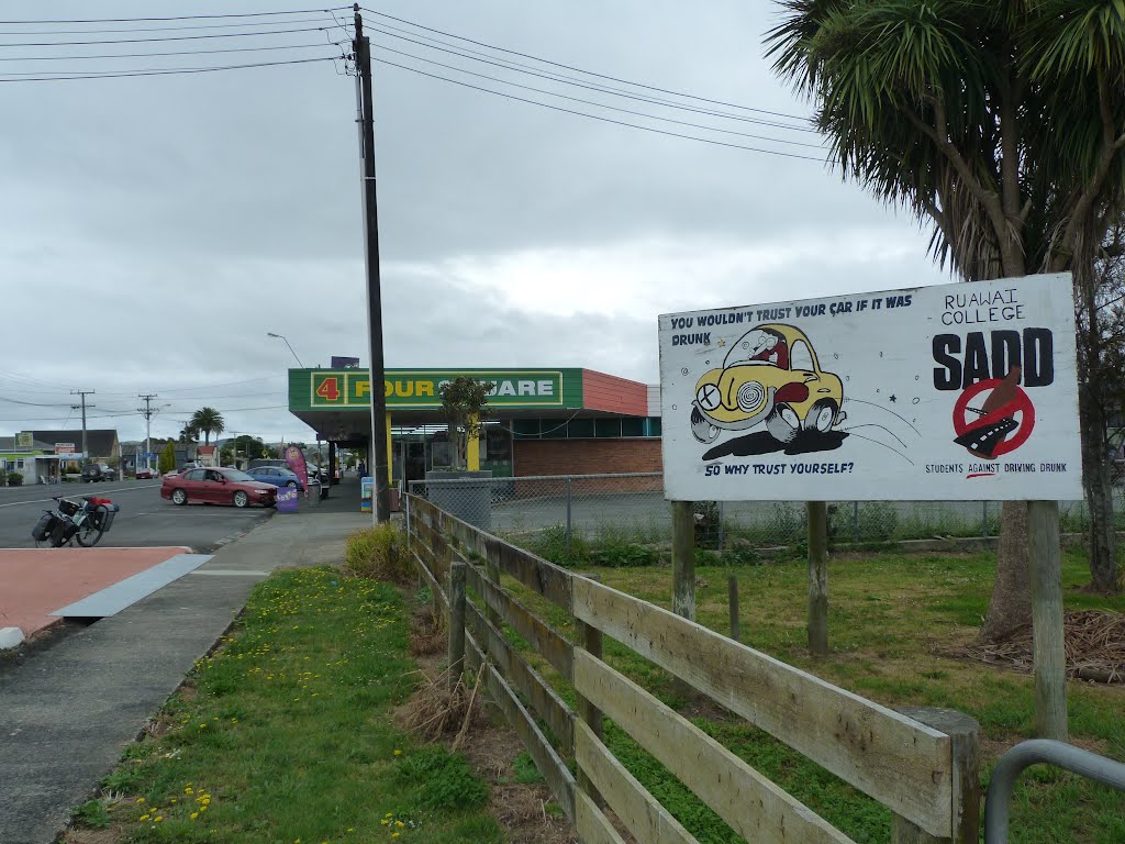
Photos of Ruawai

Ruawai Weather

Forecast: Clear sky
Temperature: 20.3°
Humidity: 53%
Current time: 02:16 AM
Sunrise: 07:02 AM
Sunset: 08:12 PM
Putaruru, New Zealand
Latitude: -38.049 // Longitude: 175.78
Photos of Putaruru


Putaruru Weather

Forecast: Few clouds
Temperature: 18.8°
Humidity: 71%
Current time: 02:16 AM
Sunrise: 06:53 AM
Sunset: 08:07 PM


