
Distance between  Riverhead and
  Kaitaia
135.41 mi Straight Distance
188.24 mi Driving Distance
4 hours 14 mins Estimated Driving Time
The straight distance between Riverhead (Auckland) and Kaitaia (Northland) is 135.41 mi, but the driving distance is 188.24 mi.
It takes 4 hours 14 mins to go from Riverhead to Kaitaia.
Driving directions from Riverhead to Kaitaia
Distance in kilometers
Straight distance: 217.87 km. Route distance: 302.87 km
Riverhead, New Zealand
Latitude: -36.758 // Longitude: 174.592
Photos of Riverhead


")


Riverhead Weather

Forecast: Light rain
Temperature: 24.3°
Humidity: 84%
Current time: 09:21 PM
Sunrise: 07:16 AM
Sunset: 07:45 PM
Kaitaia, New Zealand
Latitude: -35.1173 // Longitude: 173.268
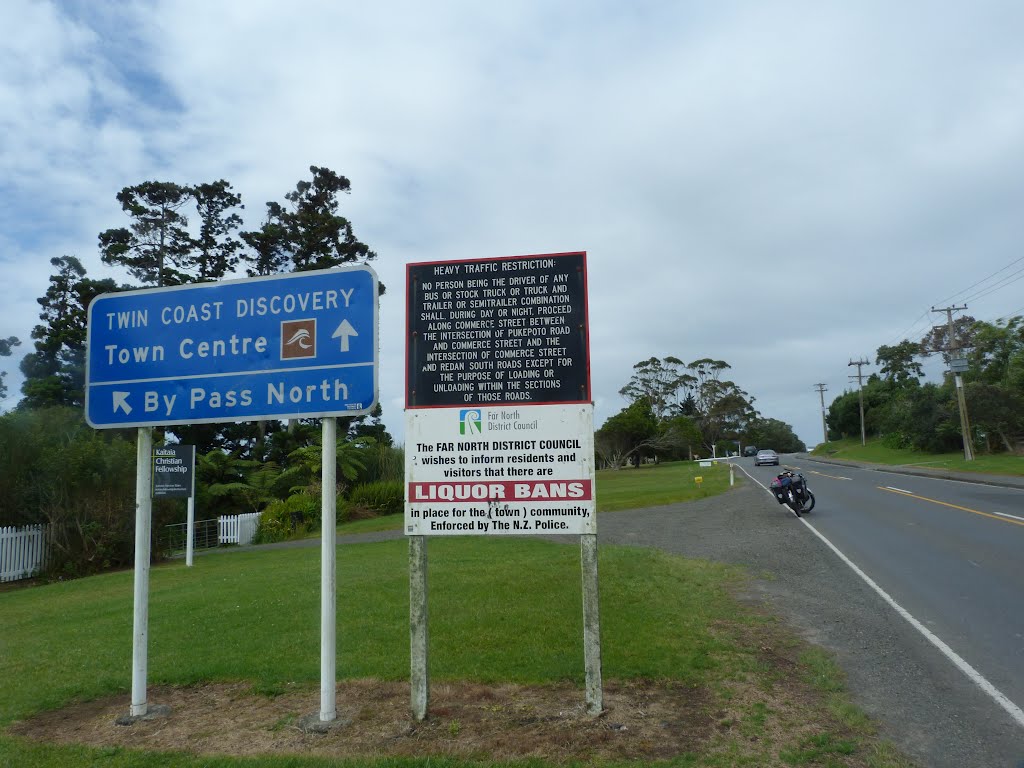
Photos of Kaitaia


Kaitaia Weather

Forecast: Broken clouds
Temperature: 23.8°
Humidity: 76%
Current time: 09:21 PM
Sunrise: 07:22 AM
Sunset: 07:50 PM


