
Distance between  Rawene and
  Wainuiomata
413.25 mi Straight Distance
567.31 mi Driving Distance
12 hours 3 mins Estimated Driving Time
The straight distance between Rawene (Northland) and Wainuiomata (Wellington) is 413.25 mi, but the driving distance is 567.31 mi.
It takes 12 hours 3 mins to go from Rawene to Wainuiomata.
Driving directions from Rawene to Wainuiomata
Distance in kilometers
Straight distance: 664.93 km. Route distance: 912.79 km
Rawene, New Zealand
Latitude: -35.4022 // Longitude: 173.504
Photos of Rawene


Rawene Weather

Forecast: Clear sky
Temperature: 18.0°
Humidity: 40%
Current time: 02:24 AM
Sunrise: 07:16 AM
Sunset: 07:57 PM
Wainuiomata, New Zealand
Latitude: -41.2743 // Longitude: 174.955
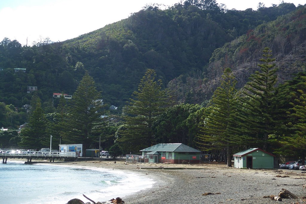
Photos of Wainuiomata


Wainuiomata Weather
Forecast: Clear sky
Temperature: 18.0°
Humidity: 40%
Current time: 02:24 AM
Sunrise: 07:06 AM
Sunset: 07:56 PM


