
Distance between  Peria and
  Te Wera
293.02 mi Straight Distance
425.62 mi Driving Distance
9 hours 38 mins Estimated Driving Time
The straight distance between Peria (Northland) and Te Wera (Taranaki) is 293.02 mi, but the driving distance is 425.62 mi.
It takes 9 hours 38 mins to go from Peria to Te Wera.
Driving directions from Peria to Te Wera
Distance in kilometers
Straight distance: 471.47 km. Route distance: 684.83 km
Peria, New Zealand
Latitude: -35.1005 // Longitude: 173.486
Photos of Peria


Peria Weather

Forecast: Overcast clouds
Temperature: 21.5°
Humidity: 98%
Sun info not available
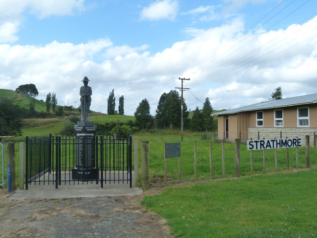
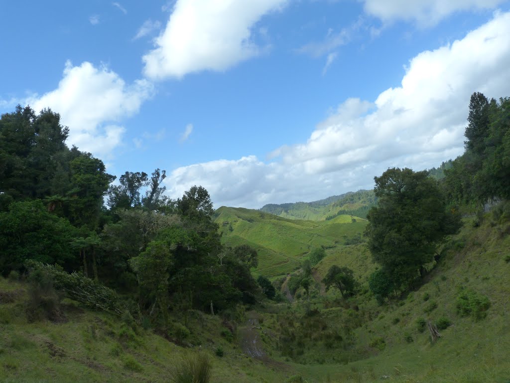
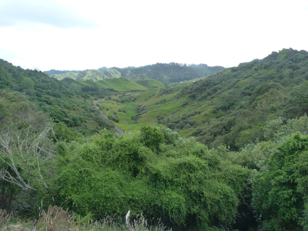
Te Wera, New Zealand
Latitude: -39.2532 // Longitude: 174.567
Photos of Te Wera


Te Wera Weather
Forecast: Overcast clouds
Temperature: 17.1°
Humidity: 99%
Sun info not available


