
Distance between  Patea and
  Houhora
350.81 mi Straight Distance
494.33 mi Driving Distance
10 hours 42 mins Estimated Driving Time
The straight distance between Patea (Taranaki) and Houhora (Northland) is 350.81 mi, but the driving distance is 494.33 mi.
It takes 10 hours 42 mins to go from Patea to Houhora.
Driving directions from Patea to Houhora
Distance in kilometers
Straight distance: 564.45 km. Route distance: 795.38 km
Patea, New Zealand
Latitude: -39.7548 // Longitude: 174.473
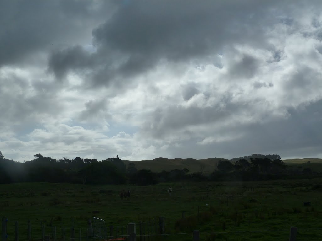
Photos of Patea


Patea Weather

Forecast: Broken clouds
Temperature: 22.8°
Humidity: 72%
Current time: 11:31 AM
Sunrise: 07:15 AM
Sunset: 07:47 PM
Houhora, New Zealand
Latitude: -34.7957 // Longitude: 173.103
Photos of Houhora


Houhora Weather

Forecast: Few clouds
Temperature: 21.5°
Humidity: 96%
Sun info not available


