
Distance between  Oromahoe and
  Roxburgh
747.11 mi Straight Distance
1,110.86 mi Driving Distance
1 day 1 hour Estimated Driving Time
The straight distance between Oromahoe (Northland) and Roxburgh (Otago) is 747.11 mi, but the driving distance is 1,110.86 mi.
It takes 1 day 1 hour to go from Oromahoe to Roxburgh.
Driving directions from Oromahoe to Roxburgh
Distance in kilometers
Straight distance: 1,202.10 km. Route distance: 1,787.38 km
Oromahoe, New Zealand
Latitude: -35.3207 // Longitude: 173.978
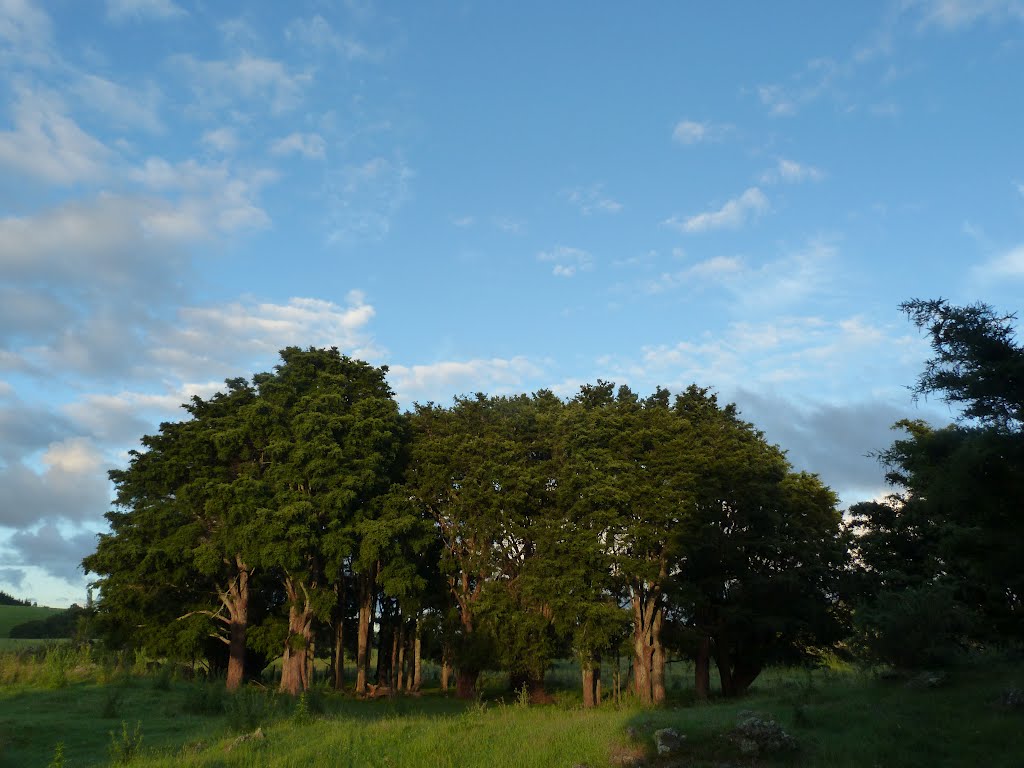
Photos of Oromahoe


Oromahoe Weather

Forecast: Clear sky
Temperature: 18.0°
Humidity: 40%
Current time: 11:29 PM
Sunrise: 07:13 AM
Sunset: 07:57 PM
Roxburgh, New Zealand
Latitude: -45.5391 // Longitude: 169.312
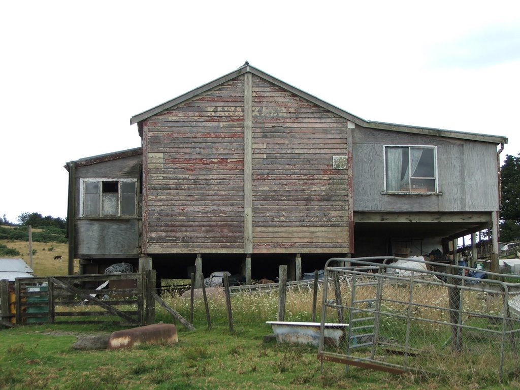
Photos of Roxburgh


Roxburgh Weather
Forecast: Clear sky
Temperature: 18.0°
Humidity: 40%
Current time: 11:29 PM
Sunrise: 07:24 AM
Sunset: 08:23 PM


