
Distance between  Omata and
  Foxton
116.60 mi Straight Distance
161.11 mi Driving Distance
3 hours 30 mins Estimated Driving Time
The straight distance between Omata (Taranaki) and Foxton (Manawatu-Wanganui) is 116.60 mi, but the driving distance is 161.11 mi.
It takes to go from Omata to Foxton.
Driving directions from Omata to Foxton
Distance in kilometers
Straight distance: 187.60 km. Route distance: 259.22 km
Omata, New Zealand
Latitude: -39.0936 // Longitude: 174.02
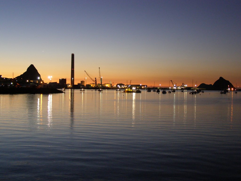
Photos of Omata

, NZ")

Omata Weather

Forecast: Overcast clouds
Temperature: 19.5°
Humidity: 100%
Current time: 10:57 AM
Sunrise: 06:54 AM
Sunset: 08:21 PM
Foxton, New Zealand
Latitude: -40.4725 // Longitude: 175.286
Photos of Foxton


Foxton Weather

Forecast: Scattered clouds
Temperature: 11.7°
Humidity: 94%
Current time: 10:57 AM
Sunrise: 06:47 AM
Sunset: 08:18 PM


