
Distance between  Normanby and
  Bluff
Bluff
571.85 mi Straight Distance
812.22 mi Driving Distance
20 hours 22 mins Estimated Driving Time
The straight distance between Normanby (Taranaki) and Bluff (Southland) is 571.85 mi, but the driving distance is 812.22 mi.
It takes to go from Normanby to Bluff.
Driving directions from Normanby to Bluff
Distance in kilometers
Straight distance: 920.10 km. Route distance: 1,306.87 km
Normanby, New Zealand
Latitude: -39.5399 // Longitude: 174.274
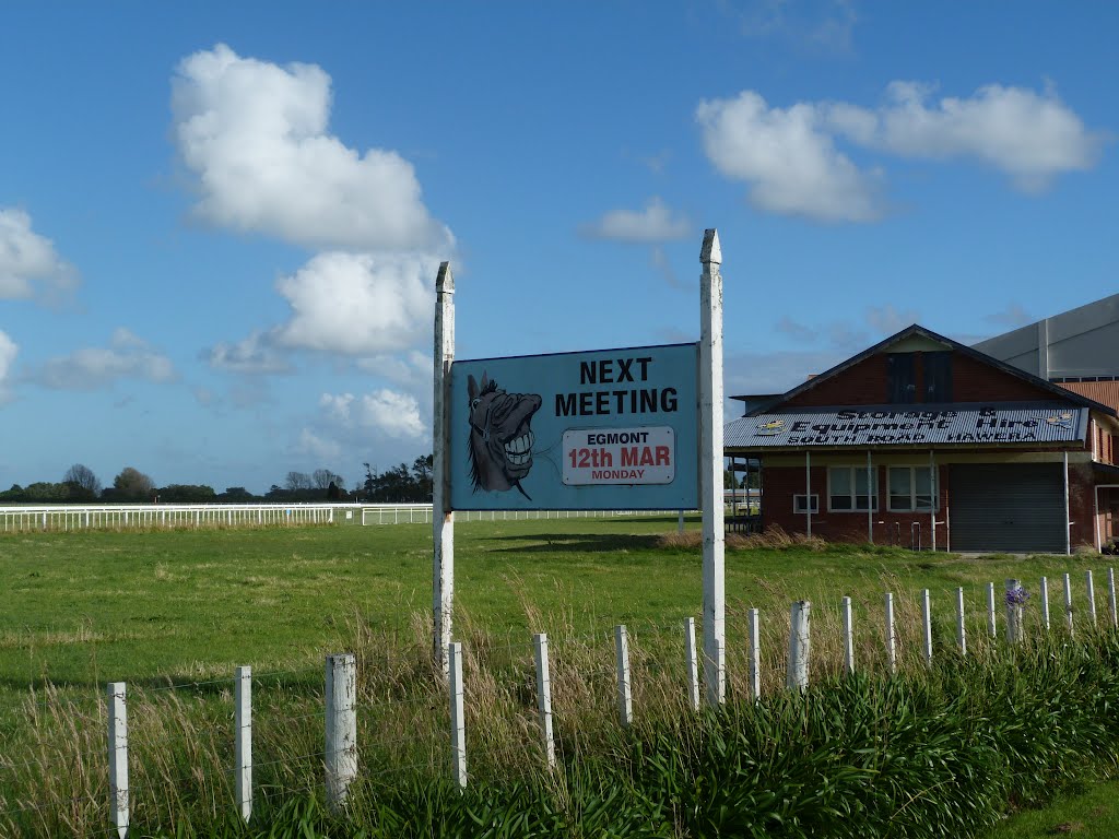
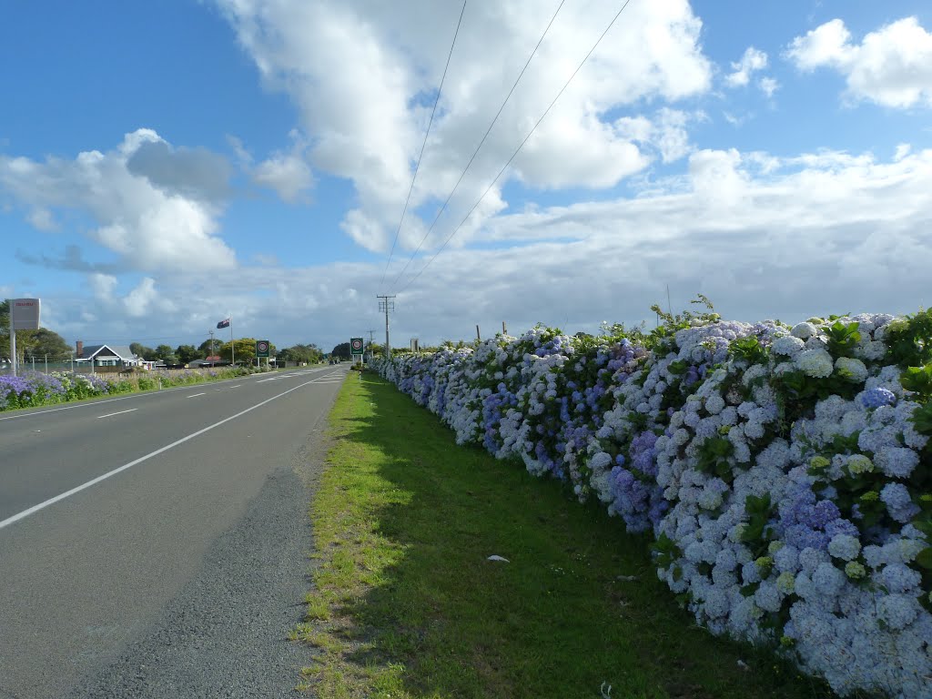
Photos of Normanby


Normanby Weather

Forecast: Few clouds
Temperature: 19.1°
Humidity: 56%
Current time: 09:14 PM
Sunrise: 06:57 AM
Sunset: 08:15 PM
Bluff, New Zealand
Latitude: -46.5996 // Longitude: 168.346
Photos of Bluff
")


Bluff Weather

Forecast: Broken clouds
Temperature: 19.5°
Humidity: 51%
Current time: 09:14 PM
Sunrise: 07:10 AM
Sunset: 08:49 PM


