
Distance between  Matata and
  Leeston
467.82 mi Straight Distance
621.11 mi Driving Distance
16 hours 2 mins Estimated Driving Time
The straight distance between Matata (Bay of Plenty) and Leeston (Canterbury) is 467.82 mi, but the driving distance is 621.11 mi.
It takes 16 hours 2 mins to go from Matata to Leeston.
Driving directions from Matata to Leeston
Distance in kilometers
Straight distance: 752.72 km. Route distance: 999.37 km
Matata, New Zealand
Latitude: -37.8869 // Longitude: 176.751
Photos of Matata


Matata Weather

Forecast: Clear sky
Temperature: 18.0°
Humidity: 40%
Current time: 08:45 PM
Sunrise: 07:02 AM
Sunset: 07:44 PM
Leeston, New Zealand
Latitude: -43.7626 // Longitude: 172.298
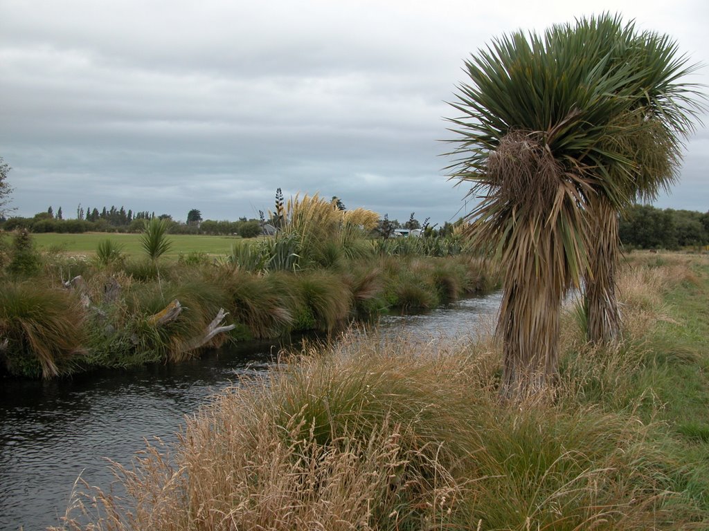
Photos of Leeston


Leeston Weather
Forecast: Clear sky
Temperature: 18.0°
Humidity: 40%
Current time: 08:45 PM
Sunrise: 07:16 AM
Sunset: 08:06 PM


