
Distance between  Matakohe and
  Temuka
581.56 mi Straight Distance
835.17 mi Driving Distance
20 hours 9 mins Estimated Driving Time
The straight distance between Matakohe (Northland) and Temuka (Canterbury) is 581.56 mi, but the driving distance is 835.17 mi.
It takes 20 hours 9 mins to go from Matakohe to Temuka.
Driving directions from Matakohe to Temuka
Distance in kilometers
Straight distance: 935.72 km. Route distance: 1,343.79 km
Matakohe, New Zealand
Latitude: -36.1254 // Longitude: 174.187
Photos of Matakohe


Matakohe Weather

Forecast: Overcast clouds
Temperature: 20.4°
Humidity: 68%
Sun info not available
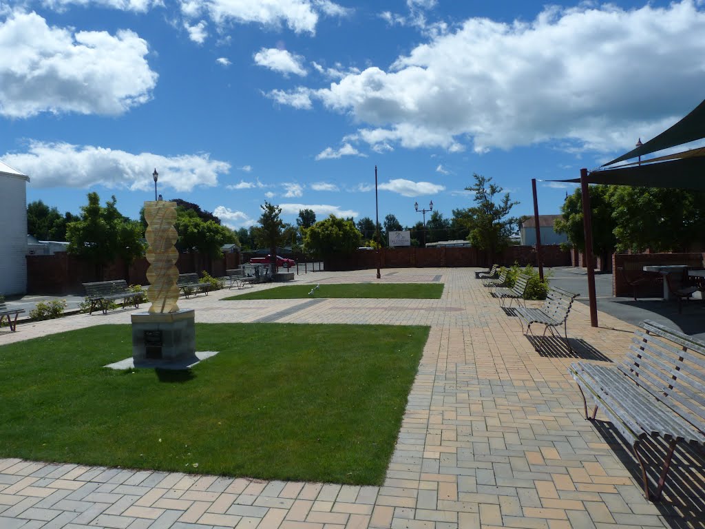
Temuka, New Zealand
Latitude: -44.2453 // Longitude: 171.278
Photos of Temuka


Temuka Weather
Forecast: Overcast clouds
Temperature: 13.9°
Humidity: 74%
Current time: 10:33 PM
Sunrise: 07:22 AM
Sunset: 08:07 PM


