
Distance between  Mapua and
  Tauhoa
344.73 mi Straight Distance
593.57 mi Driving Distance
15 hours 16 mins Estimated Driving Time
The straight distance between Mapua (Tasmania) and Tauhoa (Auckland) is 344.73 mi, but the driving distance is 593.57 mi.
It takes to go from Mapua to Tauhoa.
Driving directions from Mapua to Tauhoa
Distance in kilometers
Straight distance: 554.67 km. Route distance: 955.06 km
Mapua, New Zealand
Latitude: -41.2537 // Longitude: 173.096
Photos of Mapua
")


Mapua Weather

Forecast: Overcast clouds
Temperature: 13.3°
Humidity: 78%
Current time: 08:43 PM
Sunrise: 06:57 AM
Sunset: 08:25 PM
Tauhoa, New Zealand
Latitude: -36.3773 // Longitude: 174.452
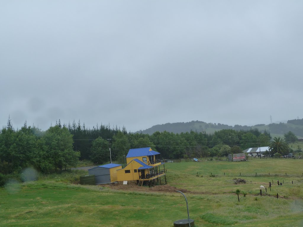
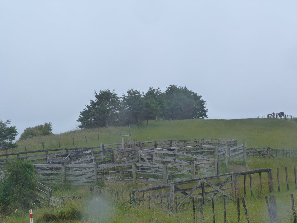
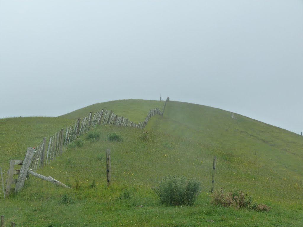
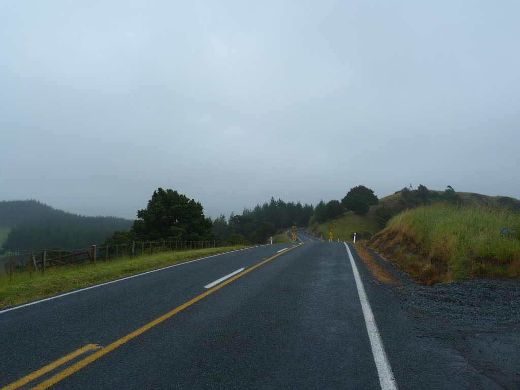
Photos of Tauhoa


Tauhoa Weather

Forecast: Clear sky
Temperature: 21.3°
Humidity: 50%
Current time: 12:00 PM
Sunrise: 06:58 AM
Sunset: 08:13 PM


