
Distance between  Mapua and
  Leeston
178.05 mi Straight Distance
281.95 mi Driving Distance
6 hours 14 mins Estimated Driving Time
The straight distance between Mapua (Tasmania) and Leeston (Canterbury) is 178.05 mi, but the driving distance is 281.95 mi.
It takes 5 hours 32 mins to go from Mapua to Leeston.
Driving directions from Mapua to Leeston
Distance in kilometers
Straight distance: 286.48 km. Route distance: 453.66 km
Mapua, New Zealand
Latitude: -41.2537 // Longitude: 173.096
Photos of Mapua
")


Mapua Weather

Forecast: Clear sky
Temperature: 16.1°
Humidity: 69%
Current time: 03:04 PM
Sunrise: 07:13 AM
Sunset: 08:03 PM
Leeston, New Zealand
Latitude: -43.7626 // Longitude: 172.298
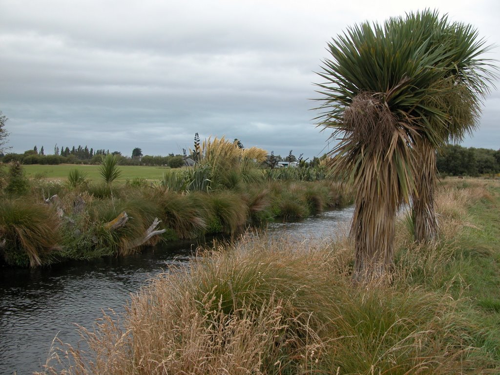
Photos of Leeston


Leeston Weather
Forecast: Clear sky
Temperature: 13.6°
Humidity: 80%
Current time: 03:04 PM
Sunrise: 07:15 AM
Sunset: 08:08 PM


