
Distance between  Manutahi and
  Matata
176.36 mi Straight Distance
274.81 mi Driving Distance
5 hours 58 mins Estimated Driving Time
The straight distance between Manutahi (Taranaki) and Matata (Bay of Plenty) is 176.36 mi, but the driving distance is 274.81 mi.
It takes 5 hours 58 mins to go from Manutahi to Matata.
Driving directions from Manutahi to Matata
Distance in kilometers
Straight distance: 283.77 km. Route distance: 442.16 km
Manutahi, New Zealand
Latitude: -39.6604 // Longitude: 174.396
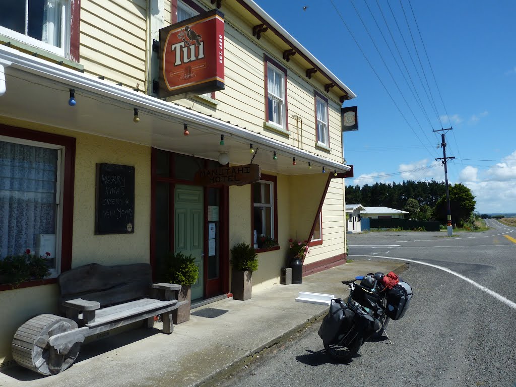
Photos of Manutahi


Manutahi Weather

Forecast: Broken clouds
Temperature: 18.9°
Humidity: 50%
Sun info not available
Matata, New Zealand
Latitude: -37.8869 // Longitude: 176.751
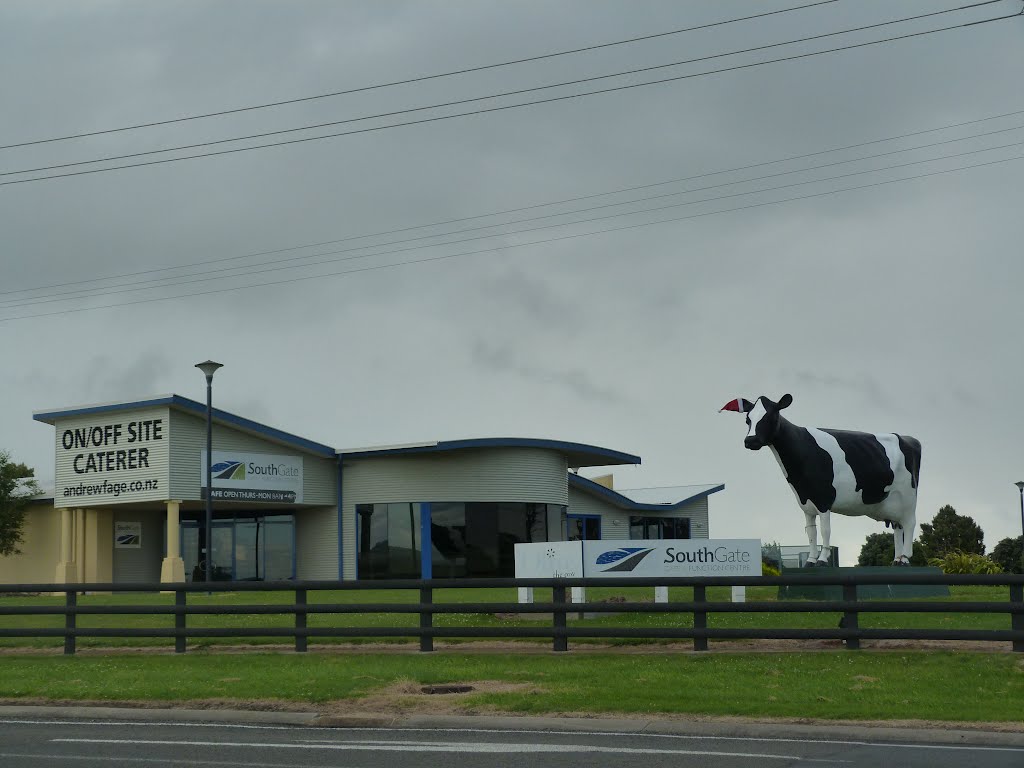
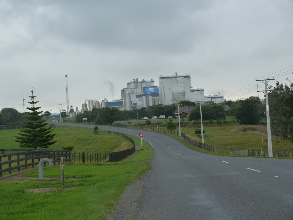
Photos of Matata


Matata Weather
Forecast: Overcast clouds
Temperature: 11.8°
Humidity: 86%
Current time: 11:35 AM
Sunrise: 07:06 AM
Sunset: 07:39 PM


