
Distance between  Manutahi and
  Foxton
73.23 mi Straight Distance
96.68 mi Driving Distance
2 hours 8 mins Estimated Driving Time
The straight distance between Manutahi (Taranaki) and Foxton (Manawatu-Wanganui) is 73.23 mi, but the driving distance is 96.68 mi.
It takes to go from Manutahi to Foxton.
Driving directions from Manutahi to Foxton
Distance in kilometers
Straight distance: 117.83 km. Route distance: 155.56 km
Manutahi, New Zealand
Latitude: -39.6604 // Longitude: 174.396
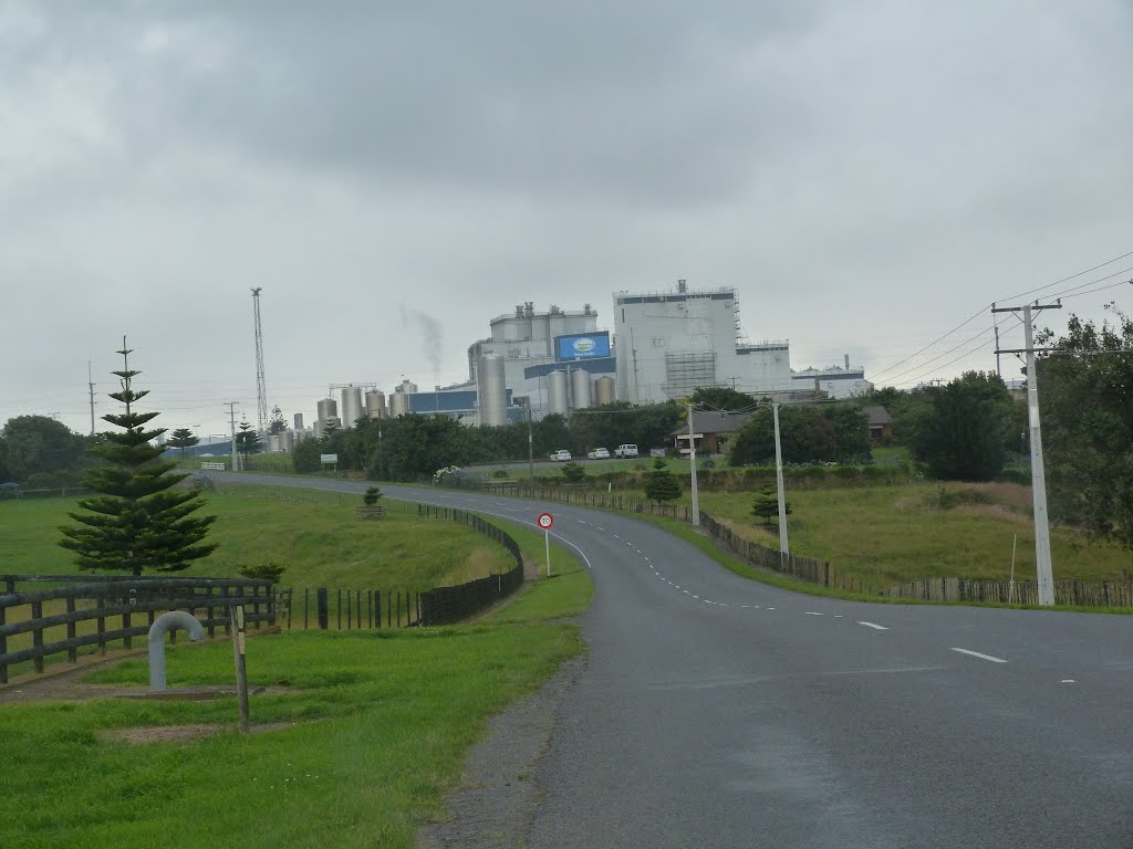
Photos of Manutahi


Manutahi Weather

Forecast: Overcast clouds
Temperature: 20.2°
Humidity: 68%
Current time: 12:00 AM
Sunrise: 05:57 PM
Sunset: 07:13 AM
Foxton, New Zealand
Latitude: -40.4725 // Longitude: 175.286
Photos of Foxton


Foxton Weather
Forecast: Overcast clouds
Temperature: 21.1°
Humidity: 75%
Current time: 03:26 PM
Sunrise: 06:53 AM
Sunset: 08:10 PM


