
Distance between  Mangamuka and
  Waitara
264.75 mi Straight Distance
384.67 mi Driving Distance
8 hours 15 mins Estimated Driving Time
The straight distance between Mangamuka (Northland) and Waitara (Taranaki) is 264.75 mi, but the driving distance is 384.67 mi.
It takes 8 hours 15 mins to go from Mangamuka to Waitara.
Driving directions from Mangamuka to Waitara
Distance in kilometers
Straight distance: 425.98 km. Route distance: 618.94 km
Mangamuka, New Zealand
Latitude: -35.21 // Longitude: 173.54
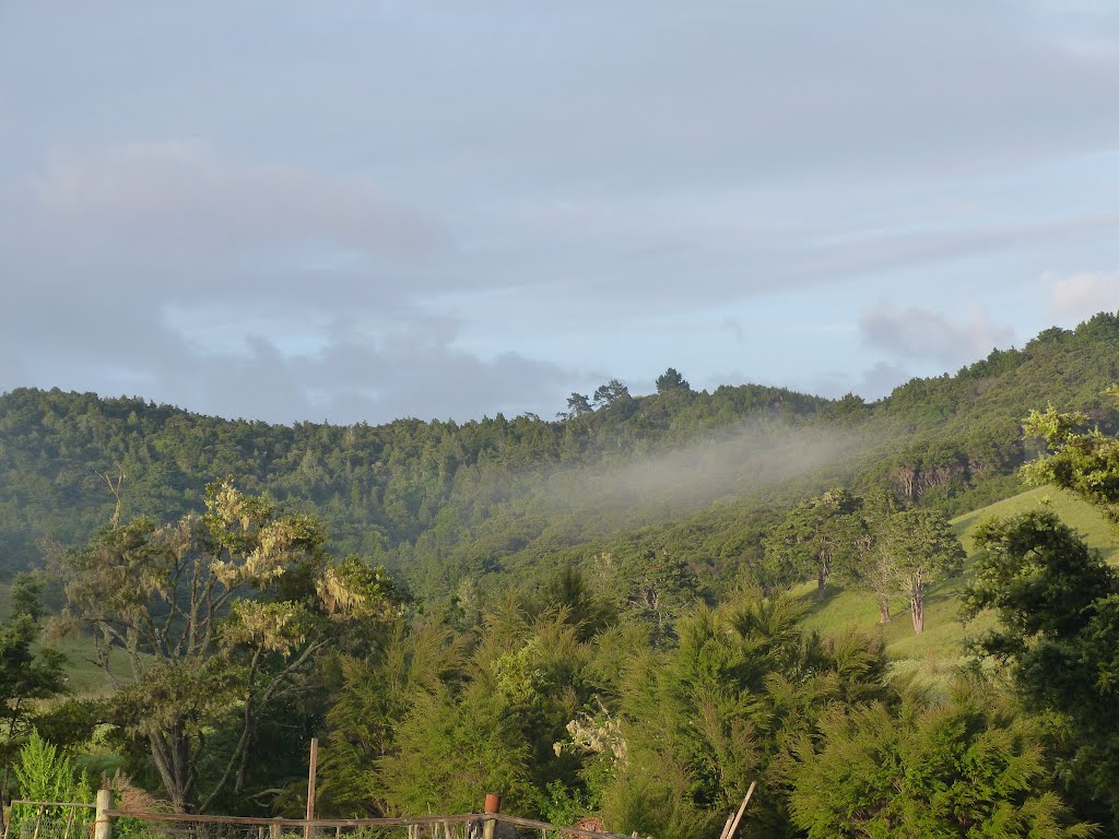
Photos of Mangamuka


Mangamuka Weather

Forecast: Moderate rain
Temperature: 17.3°
Humidity: 89%
Sun info not available
Waitara, New Zealand
Latitude: -39.0011 // Longitude: 174.238
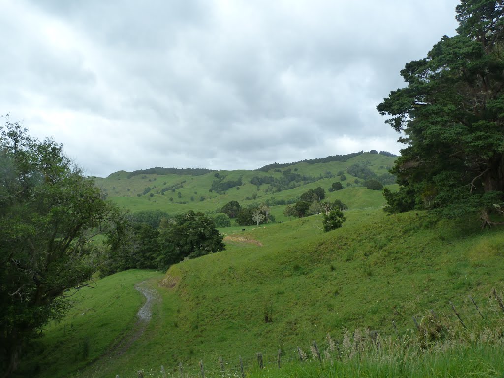
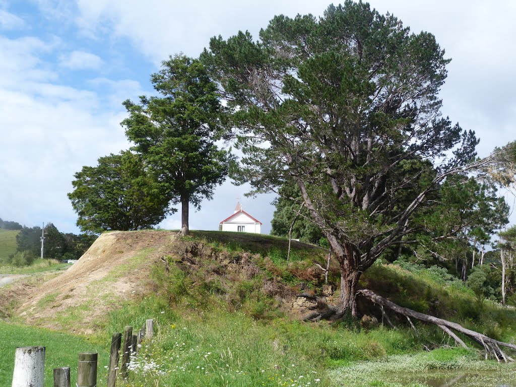
Photos of Waitara
 - side road near Tikorangi")


Waitara Weather

Forecast: Broken clouds
Temperature: 21.0°
Humidity: 100%
Current time: 01:23 AM
Sunrise: 07:16 AM
Sunset: 07:49 PM


