
Distance between  Mangamuka and
  Taumarunui
270.94 mi Straight Distance
344.78 mi Driving Distance
7 hours 22 mins Estimated Driving Time
The straight distance between Mangamuka (Northland) and Taumarunui (Manawatu-Wanganui) is 270.94 mi, but the driving distance is 344.78 mi.
It takes to go from Mangamuka to Taumarunui.
Driving directions from Mangamuka to Taumarunui
Distance in kilometers
Straight distance: 435.95 km. Route distance: 554.75 km
Mangamuka, New Zealand
Latitude: -35.21 // Longitude: 173.54
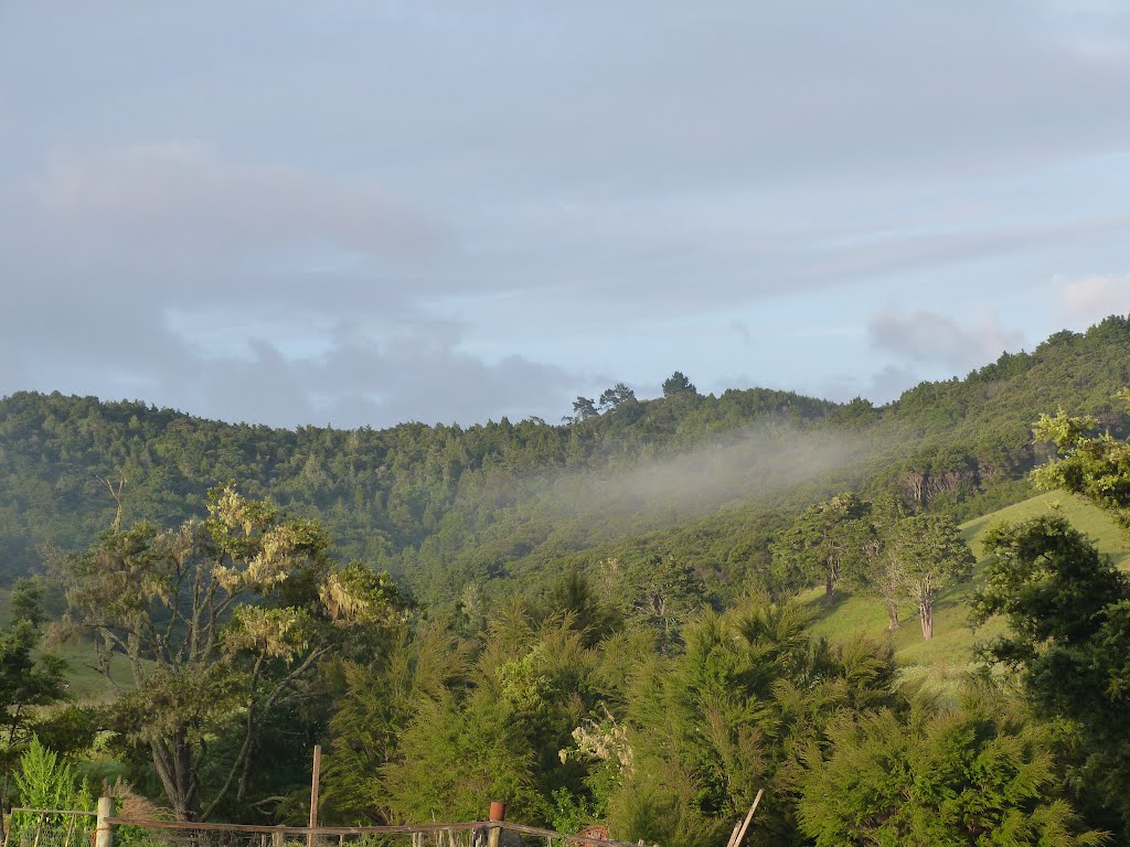
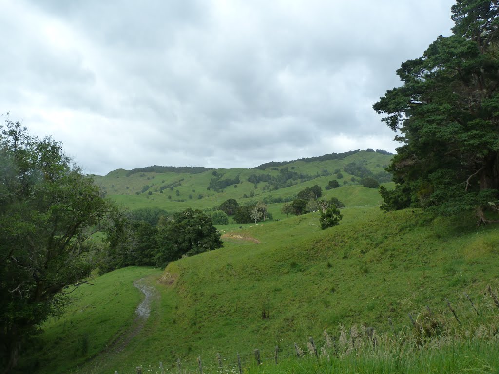
Photos of Mangamuka


Mangamuka Weather

Forecast: Broken clouds
Temperature: 16.2°
Humidity: 80%
Current time: 12:00 AM
Sunrise: 06:05 PM
Sunset: 07:13 AM
Taumarunui, New Zealand
Latitude: -38.8832 // Longitude: 175.261
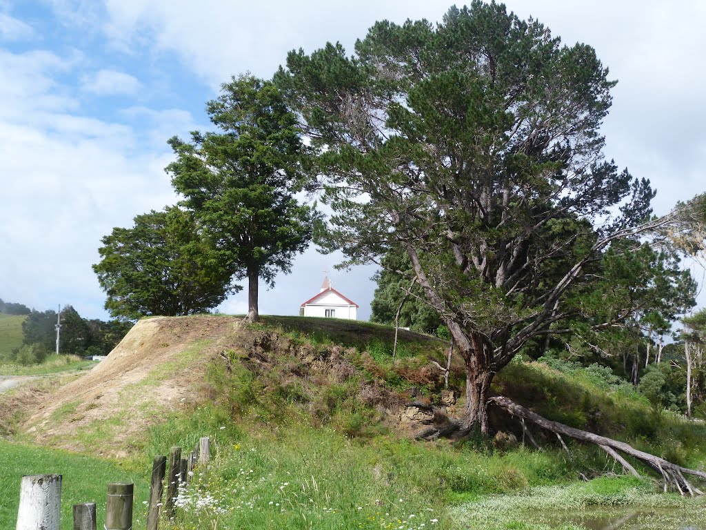
Photos of Taumarunui


Taumarunui Weather

Forecast: Clear sky
Temperature: 15.2°
Humidity: 69%
Current time: 12:00 AM
Sunrise: 05:54 PM
Sunset: 07:10 AM


