
Distance between  Mangamuka and
  Kauri
Kauri
52.30 mi Straight Distance
67.70 mi Driving Distance
1 hour 26 mins Estimated Driving Time
The straight distance between Mangamuka (Northland) and Kauri (Northland) is 52.30 mi, but the driving distance is 67.70 mi.
It takes 1 hour 18 mins to go from Mangamuka to Kauri.
Driving directions from Mangamuka to Kauri
Distance in kilometers
Straight distance: 84.15 km. Route distance: 108.93 km
Mangamuka, New Zealand
Latitude: -35.21 // Longitude: 173.54
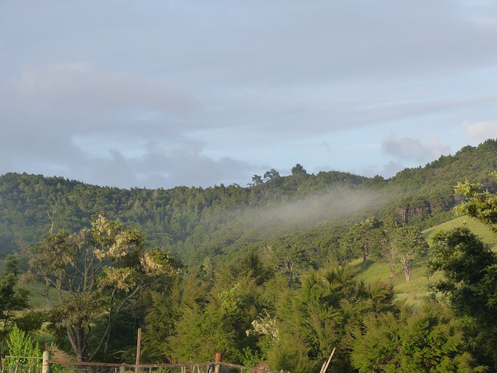
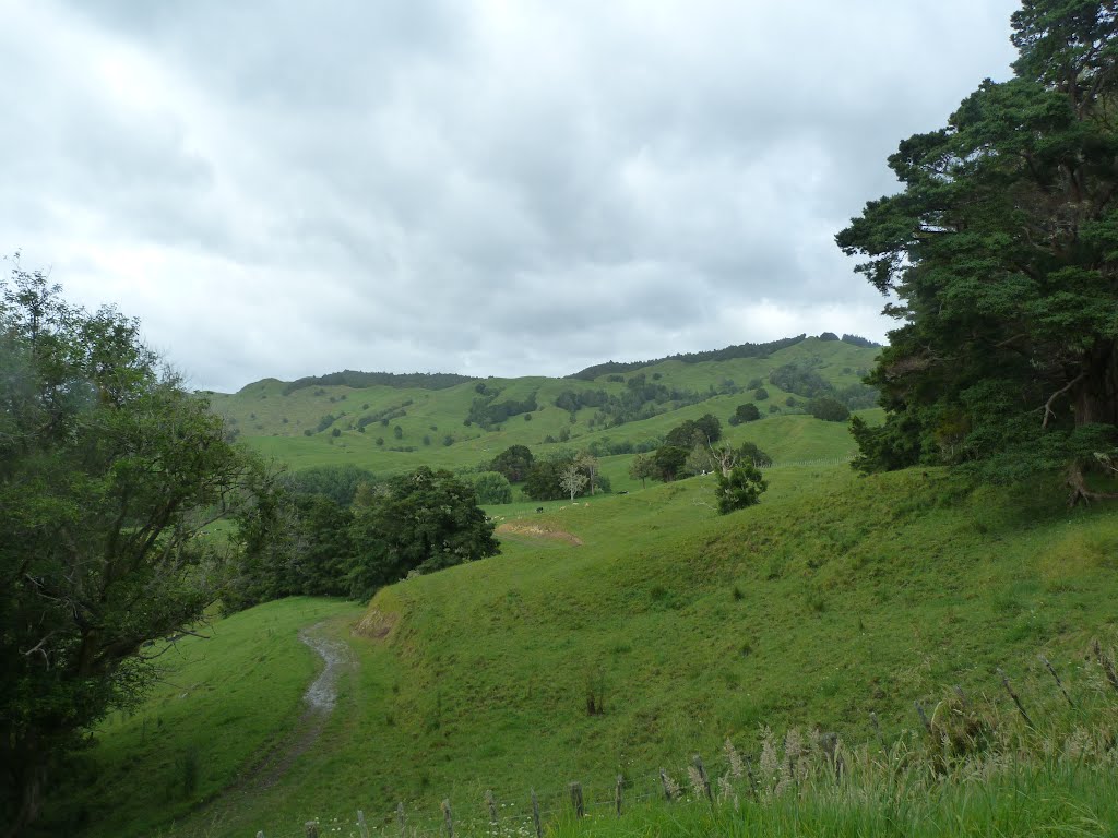
Photos of Mangamuka


Mangamuka Weather

Forecast: Clear sky
Temperature: 15.6°
Humidity: 79%
Current time: 12:00 AM
Sunrise: 06:02 PM
Sunset: 07:16 AM
Kauri, New Zealand
Latitude: -35.6441 // Longitude: 174.301
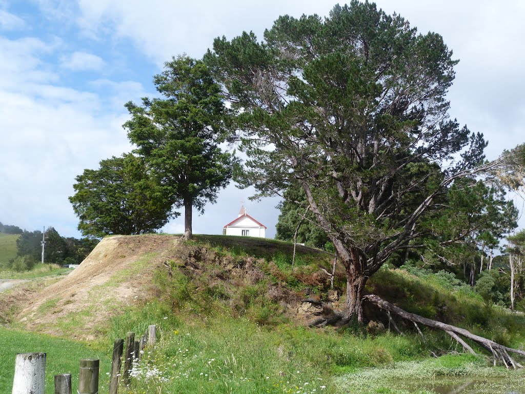
Photos of Kauri


Kauri Weather

Forecast: Scattered clouds
Temperature: 10.6°
Humidity: 98%
Current time: 09:23 AM
Sunrise: 06:59 AM
Sunset: 08:12 PM


