
Distance between  Leeston and
  Halcombe
299.01 mi Straight Distance
396.53 mi Driving Distance
11 hours 6 mins Estimated Driving Time
The straight distance between Leeston (Canterbury) and Halcombe (Manawatu-Wanganui) is 299.01 mi, but the driving distance is 396.53 mi.
It takes to go from Leeston to Halcombe.
Driving directions from Leeston to Halcombe
Distance in kilometers
Straight distance: 481.11 km. Route distance: 638.01 km
Leeston, New Zealand
Latitude: -43.7626 // Longitude: 172.298
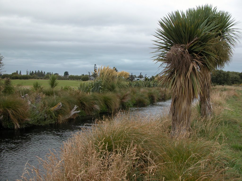
Photos of Leeston


Leeston Weather

Predicción: Overcast clouds
Temperatura: 11.9°
Humedad: 81%
Hora actual: 11:25 PM
Amanece: 06:45 AM
Anochece: 08:44 PM
Halcombe, New Zealand
Latitude: -40.1451 // Longitude: 175.494
Photos of Halcombe


Halcombe Weather
Predicción: Overcast clouds
Temperatura: 20.6°
Humedad: 99%
Hora actual: 12:00 PM
Amanece: 06:39 AM
Anochece: 08:24 PM


