
Distance between  Leeston and
  Gore
Gore
230.05 mi Straight Distance
302.34 mi Driving Distance
6 hours 51 mins Estimated Driving Time
The straight distance between Leeston (Canterbury) and Gore (Southland) is 230.05 mi, but the driving distance is 302.34 mi.
It takes 5 hours 45 mins to go from Leeston to Gore.
Driving directions from Leeston to Gore
Distance in kilometers
Straight distance: 370.14 km. Route distance: 486.46 km
Leeston, New Zealand
Latitude: -43.7626 // Longitude: 172.298
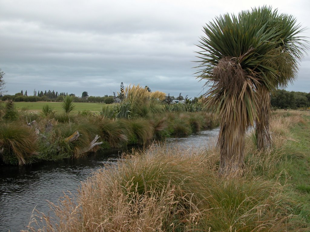
Photos of Leeston


Leeston Weather

Forecast: Clear sky
Temperature: 13.6°
Humidity: 80%
Current time: 03:28 AM
Sunrise: 07:16 AM
Sunset: 08:06 PM
Gore, New Zealand
Latitude: -46.0988 // Longitude: 168.946
Photos of Gore


Gore Weather
Forecast: Clear sky
Temperature: 18.0°
Humidity: 40%
Current time: 03:28 AM
Sunrise: 07:27 AM
Sunset: 08:22 PM


