
Distance between  Kumara and
  Coromandel
465.65 mi Straight Distance
686.26 mi Driving Distance
17 hours 5 mins Estimated Driving Time
The straight distance between Kumara (Costa Oeste) and Coromandel (Waikato) is 465.65 mi, but the driving distance is 686.26 mi.
It takes 17 hours 5 mins to go from Kumara to Coromandel.
Driving directions from Kumara to Coromandel
Distance in kilometers
Straight distance: 749.23 km. Route distance: 1,104.19 km
Kumara, New Zealand
Latitude: -42.6301 // Longitude: 171.186
Photos of Kumara
")


")
Kumara Weather

Forecast: Overcast clouds
Temperature: 13.2°
Humidity: 99%
Sun info not available
Coromandel, New Zealand
Latitude: -36.7613 // Longitude: 175.498
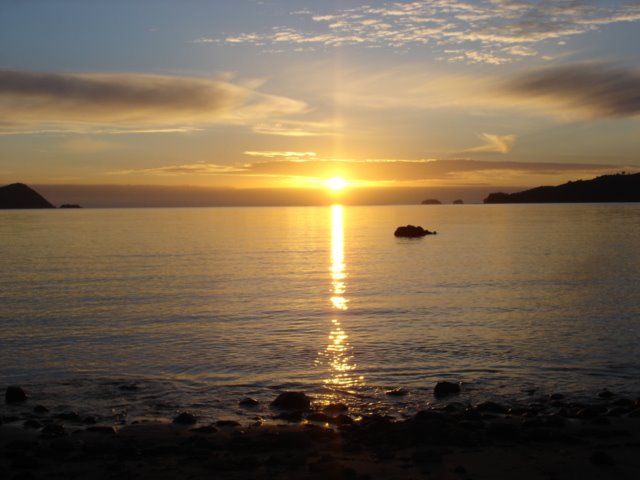
Photos of Coromandel


Coromandel Weather
Forecast: Overcast clouds
Temperature: 20.8°
Humidity: 97%
Current time: 10:09 AM
Sunrise: 07:13 AM
Sunset: 07:42 PM


