
Distance between  Karitane and
  Ruawai
679.63 mi Straight Distance
956.60 mi Driving Distance
22 hours 56 mins Estimated Driving Time
The straight distance between Karitane (Otago) and Ruawai (Northland) is 679.63 mi, but the driving distance is 956.60 mi.
It takes 22 hours 56 mins to go from Karitane to Ruawai.
Driving directions from Karitane to Ruawai
Distance in kilometers
Straight distance: 1,093.53 km. Route distance: 1,539.18 km
Karitane, New Zealand
Latitude: -45.6399 // Longitude: 170.658
Photos of Karitane


Karitane Weather

Forecast: Overcast clouds
Temperature: 13.8°
Humidity: 82%
Sun info not available
Ruawai, New Zealand
Latitude: -36.1355 // Longitude: 174.023
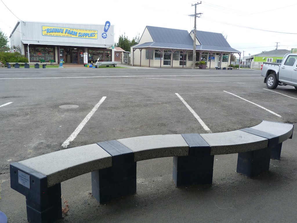
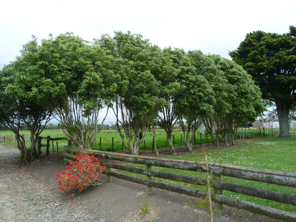
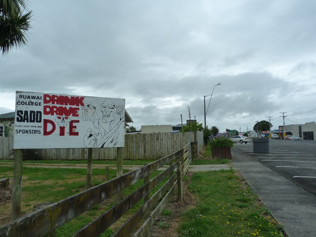
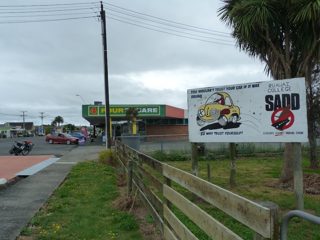
Photos of Ruawai

Ruawai Weather

Forecast: Light rain
Temperature: 18.0°
Humidity: 73%
Current time: 01:21 PM
Sunrise: 07:17 AM
Sunset: 07:50 PM


