
Distance between  Karitane and
  Hawera
456.76 mi Straight Distance
645.37 mi Driving Distance
16 hours 38 mins Estimated Driving Time
The straight distance between Karitane (Otago) and Hawera (Taranaki) is 456.76 mi, but the driving distance is 645.37 mi.
It takes to go from Karitane to Hawera.
Driving directions from Karitane to Hawera
Distance in kilometers
Straight distance: 734.93 km. Route distance: 1,038.40 km
Karitane, New Zealand
Latitude: -45.6399 // Longitude: 170.658
Photos of Karitane


Karitane Weather

Forecast: Overcast clouds
Temperature: 13.0°
Humidity: 63%
Current time: 12:00 AM
Sunrise: 06:08 PM
Sunset: 07:31 AM
Hawera, New Zealand
Latitude: -39.5883 // Longitude: 174.28
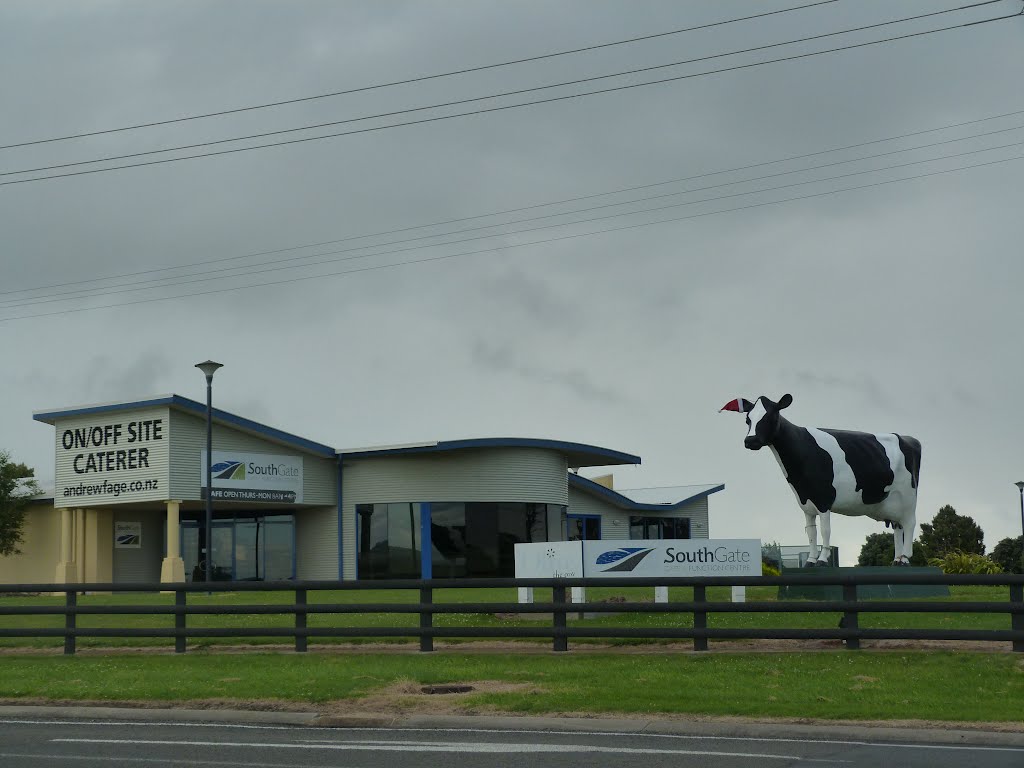
Photos of Hawera


Hawera Weather
Forecast: Overcast clouds
Temperature: 17.1°
Humidity: 75%
Current time: 11:21 PM
Sunrise: 07:01 AM
Sunset: 08:09 PM


