
Distance between  Kaitaia and
  Waitahanui
297.28 mi Straight Distance
368.13 mi Driving Distance
7 hours 41 mins Estimated Driving Time
The straight distance between Kaitaia (Northland) and Waitahanui (Waikato) is 297.28 mi, but the driving distance is 368.13 mi.
It takes 7 hours 3 mins to go from Kaitaia to Waitahanui.
Driving directions from Kaitaia to Waitahanui
Distance in kilometers
Straight distance: 478.32 km. Route distance: 592.32 km
Kaitaia, New Zealand
Latitude: -35.1173 // Longitude: 173.268
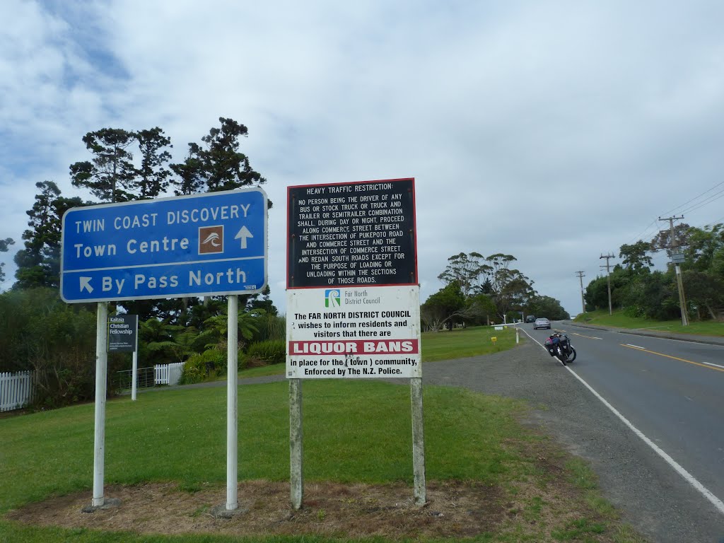
Photos of Kaitaia


Kaitaia Weather

Forecast: Moderate rain
Temperature: 19.3°
Humidity: 92%
Current time: 09:13 AM
Sunrise: 07:20 AM
Sunset: 07:53 PM
Waitahanui, New Zealand
Latitude: -38.7886 // Longitude: 176.077
Photos of Waitahanui


 - Taupo Airport (TUO), North Island, New Zealand.")

Waitahanui Weather

Forecast: Overcast clouds
Temperature: 11.3°
Humidity: 78%
Current time: 09:13 AM
Sunrise: 07:07 AM
Sunset: 07:43 PM


