
Distance between  Kaitaia and
  Upper Hutt
426.43 mi Straight Distance
584.95 mi Driving Distance
12 hours 19 mins Estimated Driving Time
The straight distance between Kaitaia (Northland) and Upper Hutt (Wellington) is 426.43 mi, but the driving distance is 584.95 mi.
It takes 11 hours 24 mins to go from Kaitaia to Upper Hutt.
Driving directions from Kaitaia to Upper Hutt
Distance in kilometers
Straight distance: 686.13 km. Route distance: 941.19 km
Kaitaia, New Zealand
Latitude: -35.1173 // Longitude: 173.268
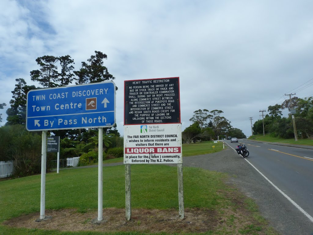
Photos of Kaitaia


Kaitaia Weather

Forecast: Overcast clouds
Temperature: 21.0°
Humidity: 74%
Current time: 02:45 AM
Sunrise: 07:20 AM
Sunset: 07:53 PM
Upper Hutt, New Zealand
Latitude: -41.1244 // Longitude: 175.071
Photos of Upper Hutt


Upper Hutt Weather

Forecast: Clear sky
Temperature: 9.2°
Humidity: 83%
Current time: 02:45 AM
Sunrise: 07:10 AM
Sunset: 07:48 PM


