
Distance between  Kaingaroa and
  Masterton
163.54 mi Straight Distance
222.93 mi Driving Distance
5 hours 15 mins Estimated Driving Time
The straight distance between Kaingaroa (Waikato) and Masterton (Wellington) is 163.54 mi, but the driving distance is 222.93 mi.
It takes 5 hours 15 mins to go from Kaingaroa to Masterton.
Driving directions from Kaingaroa to Masterton
Distance in kilometers
Straight distance: 263.14 km. Route distance: 358.69 km
Kaingaroa, New Zealand
Latitude: -38.6653 // Longitude: 176.457
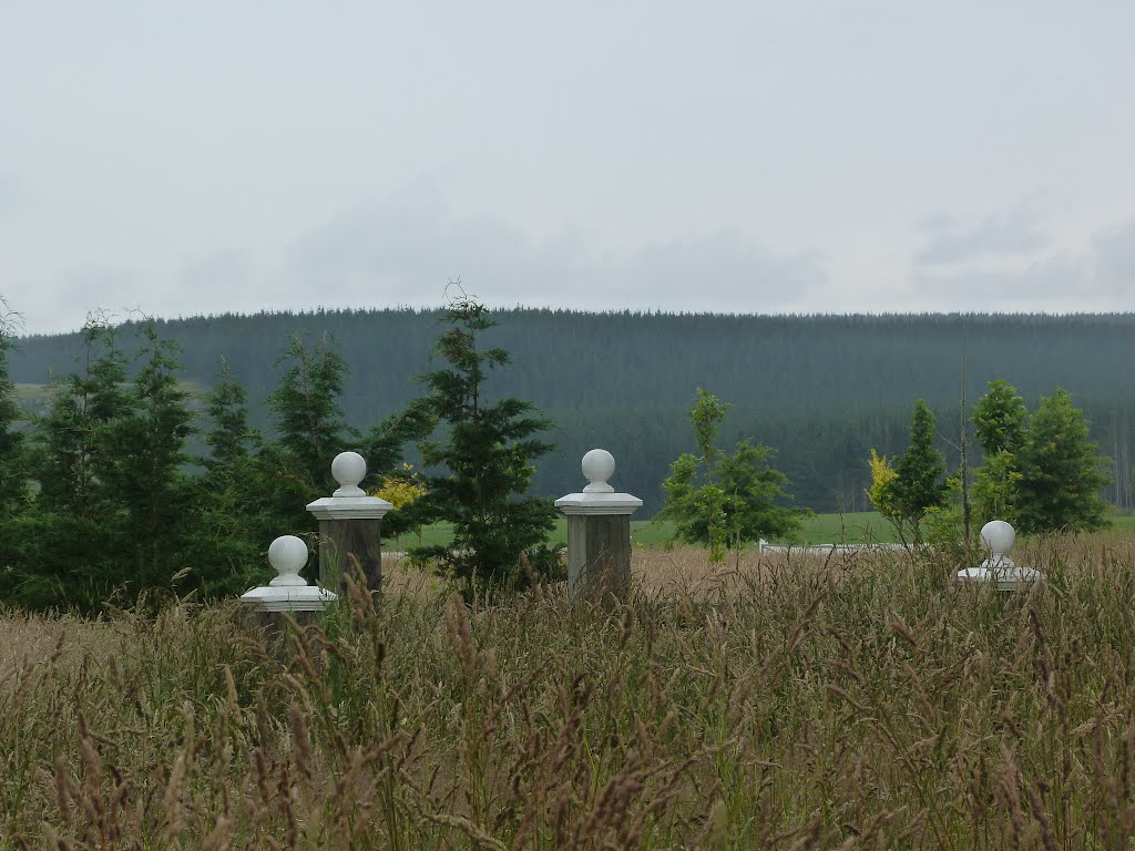
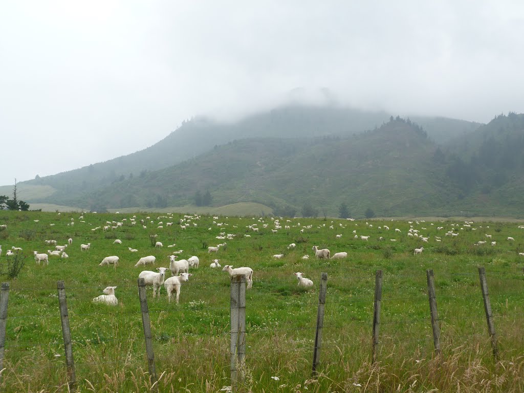
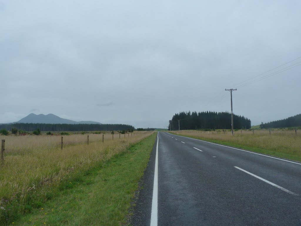
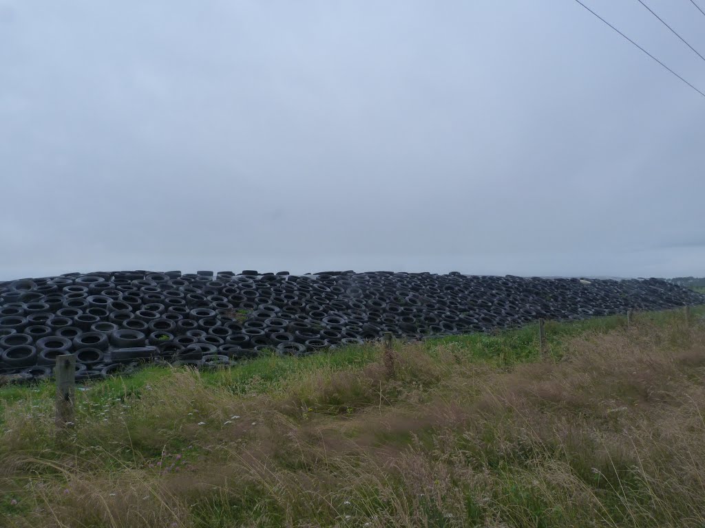
Photos of Kaingaroa


Kaingaroa Weather

Forecast: Few clouds
Temperature: 8.8°
Humidity: 96%
Sun info not available
Masterton, New Zealand
Latitude: -40.9511 // Longitude: 175.657
Photos of Masterton


Masterton Weather

Forecast: Clear sky
Temperature: 11.4°
Humidity: 94%
Current time: 10:16 PM
Sunrise: 07:03 AM
Sunset: 07:53 PM


