
Distance between  Kaingaroa and
  Foxton
139.57 mi Straight Distance
187.04 mi Driving Distance
4 hours 24 mins Estimated Driving Time
The straight distance between Kaingaroa (Waikato) and Foxton (Manawatu-Wanganui) is 139.57 mi, but the driving distance is 187.04 mi.
It takes to go from Kaingaroa to Foxton.
Driving directions from Kaingaroa to Foxton
Distance in kilometers
Straight distance: 224.57 km. Route distance: 300.95 km
Kaingaroa, New Zealand
Latitude: -38.6653 // Longitude: 176.457
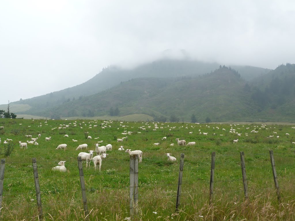
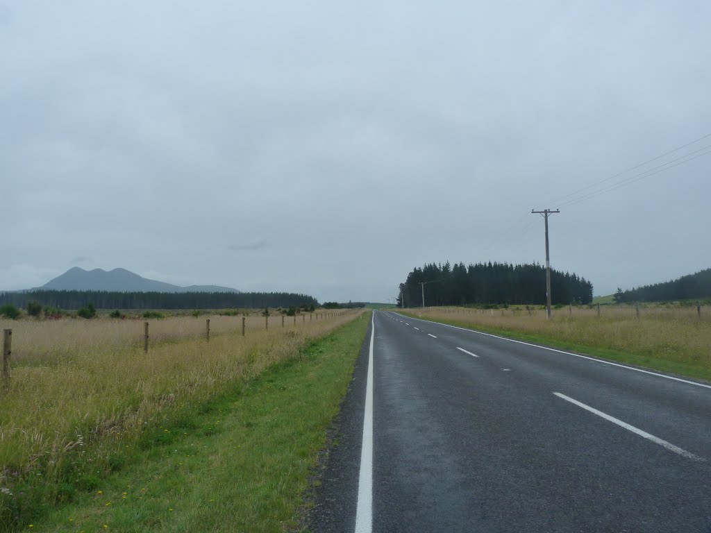
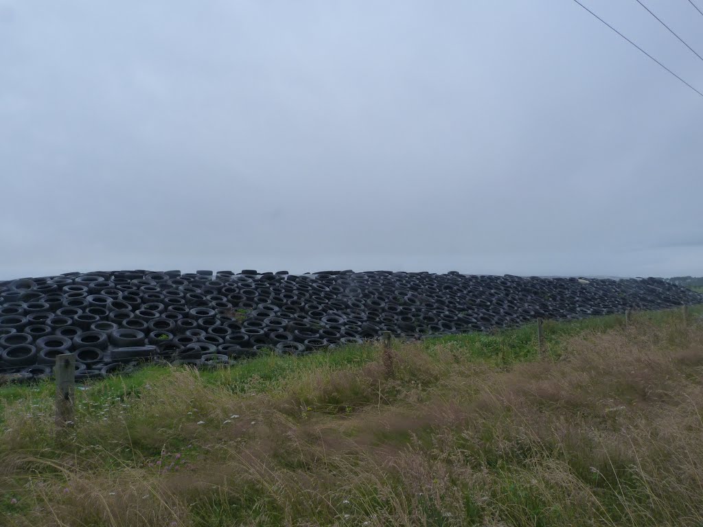
Photos of Kaingaroa


Kaingaroa Weather

Forecast: Overcast clouds
Temperature: 14.3°
Humidity: 98%
Current time: 12:00 AM
Sunrise: 05:51 PM
Sunset: 07:02 AM
Foxton, New Zealand
Latitude: -40.4725 // Longitude: 175.286
Photos of Foxton


Foxton Weather
Forecast: Overcast clouds
Temperature: 17.8°
Humidity: 82%
Current time: 12:30 PM
Sunrise: 06:55 AM
Sunset: 08:08 PM


